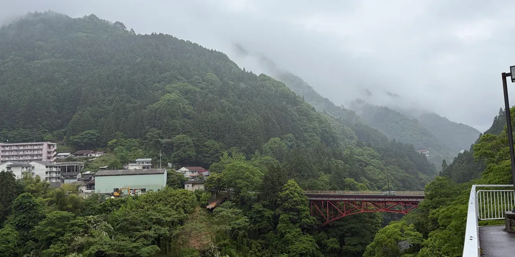
Iya Valley
To Iya Valley
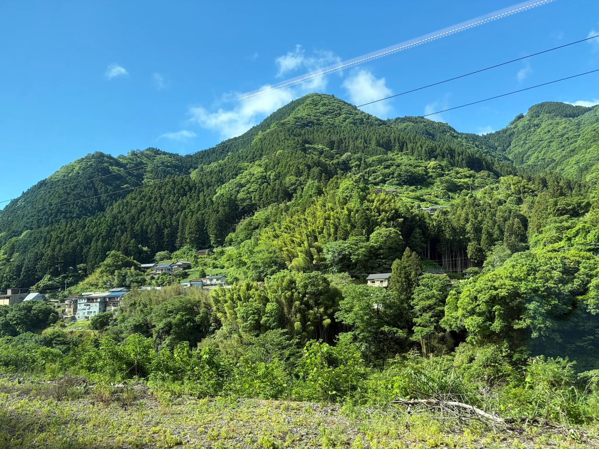
From Okayama, I took the Dosan Limited Express train (or rather, Nampu train?) to Oboke station. The view of Shikoku island is amazing: villages lying against the backdrop of forested mountains.
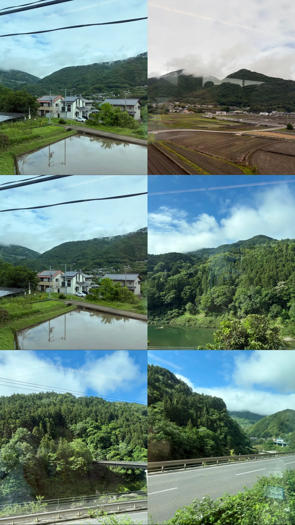
The last 3 pictures are taken at Oboke Gorge.
From Oboke station, I took the local bus to Kazurabashi bus terminal (Yumebutai). Iya valley lies along a mountain side, with roads built only with one lane shared for both directions. The drive reminds me of the trips through the mountainous villages in Vietnam.
Guesthouse
I arrived early and they allowed me to check in, since the room was ready.
They have a lounge that anyone can use. The lounge has quite some interesting stuff.
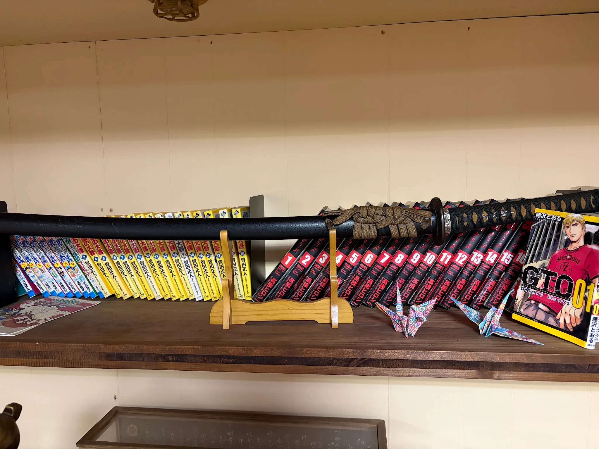
They have an entire katana! I could actually open the katana. Usually the shops in Kyoto are very careful, they don’t allow customers to anyhow touch the swords. Here I could just open the sword and swing it around (jk I didn’t do that).
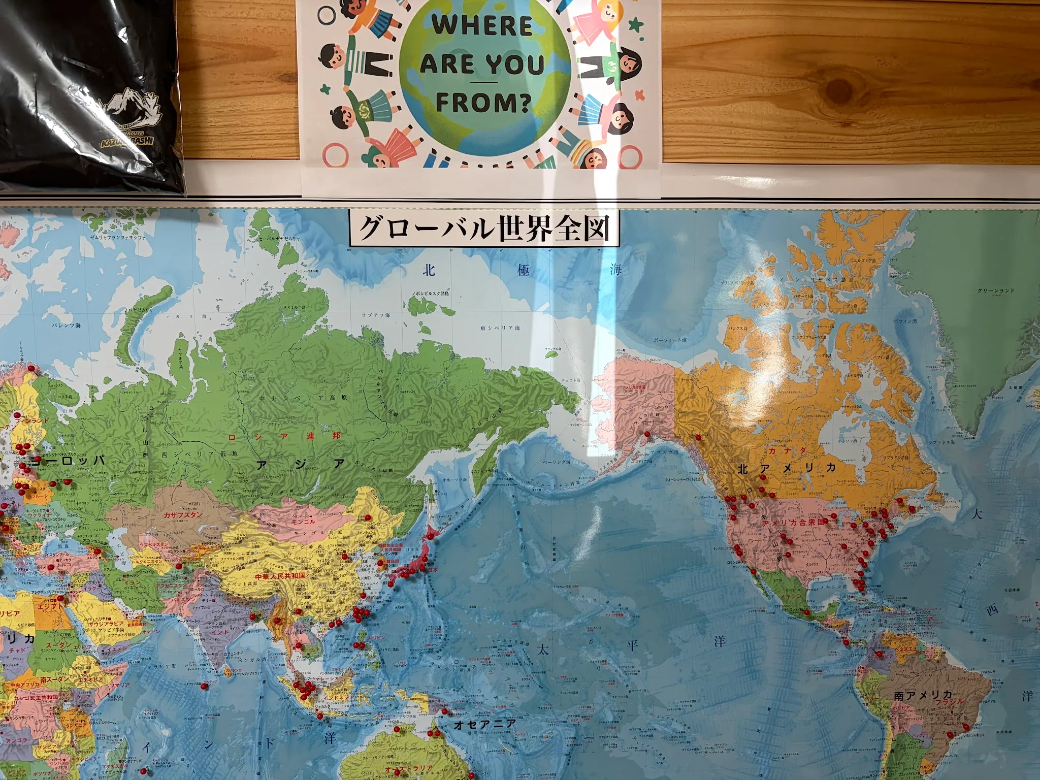
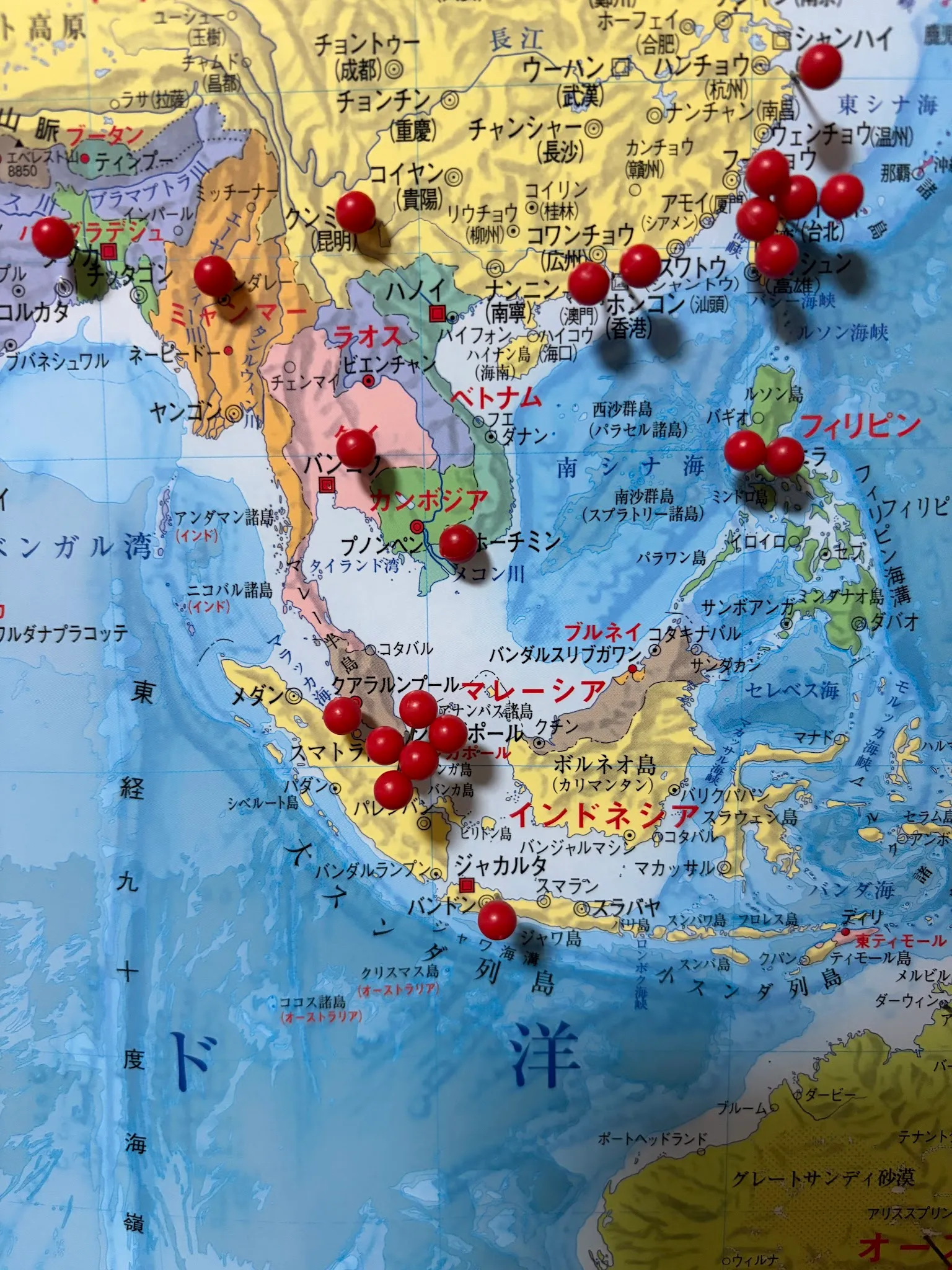
Map of where people came from. I put the only pin on Vietnam 😁 and wow the pins on Singapore are crowded.
Iyakei Gorge
There are two possible directions to take from my place of stay, to Iyakei Gorge, or to Tsurugi mountain. For the first day, I decided to start light with Iyakei Gorge.
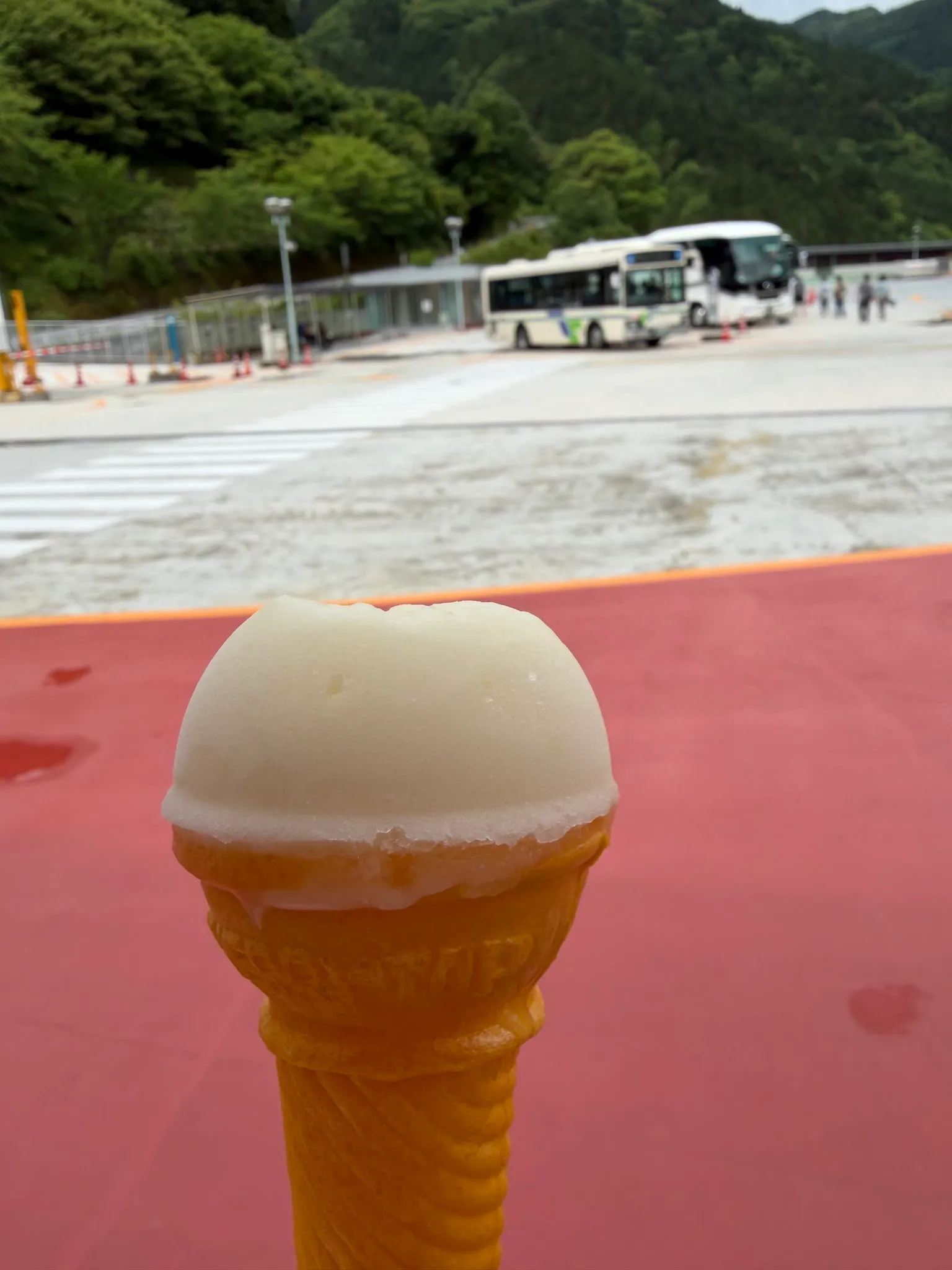
I bought ice cream while waiting for the bus. The ice cream is … meh, like ice with added sugar. Never buying this ice cream again.
Peeing boy statue
I took the bus to the furthest station, the statue of the peeing boy, and then walked down.
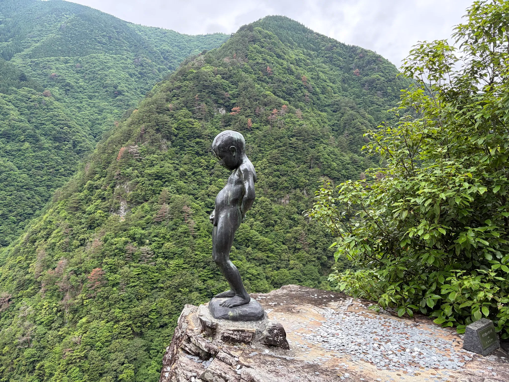
Interesting, why is this statue here?
Iya River Bend observation point
I then walked to the observation point. While the view is usually blocked by tall trees on the road side, this particular section of the road has a very clear view.
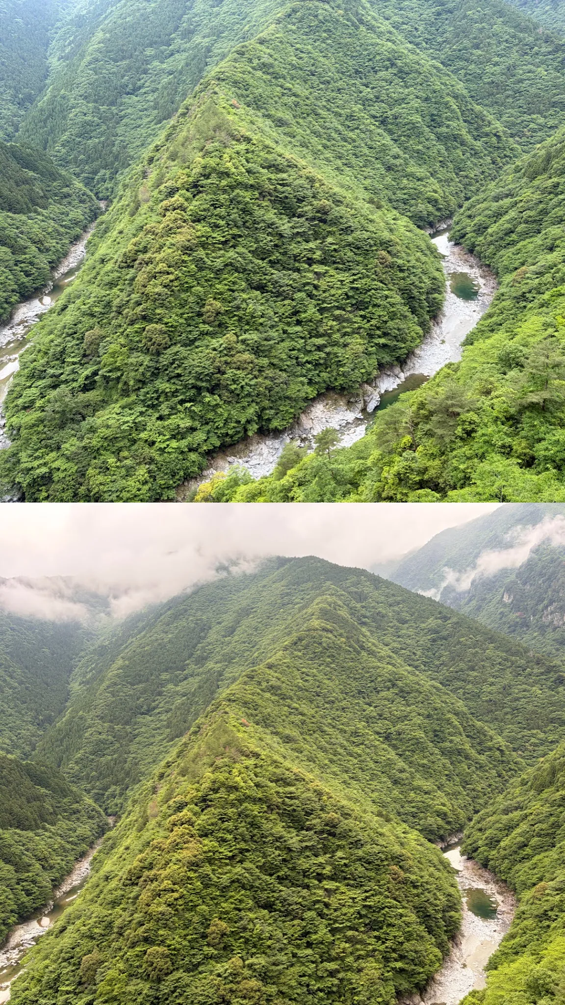
The view of nature is just magnificent!
I reached here at 12PM, but the bus would only arrive at 2PM :( so I continued the walk down. I probably have walked 6km in total … but the view was totally worth it.
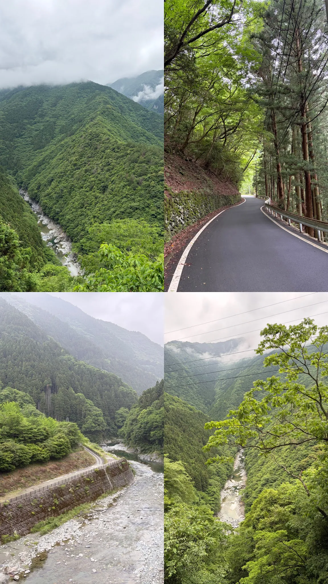
I previously saw the option to rent a bike from my guesthouse, and I was not quick enough to decide that I should rent a bike. But look at the slope … that was the upward slope I would have to take to go to the peeing boy statue. Perhaps not renting a bike is a good choice.
One thing is: there are too many butterflies on the way. The butterflies fly around like moth, but they do not sting and do not make buzzing sound so it is still fine.
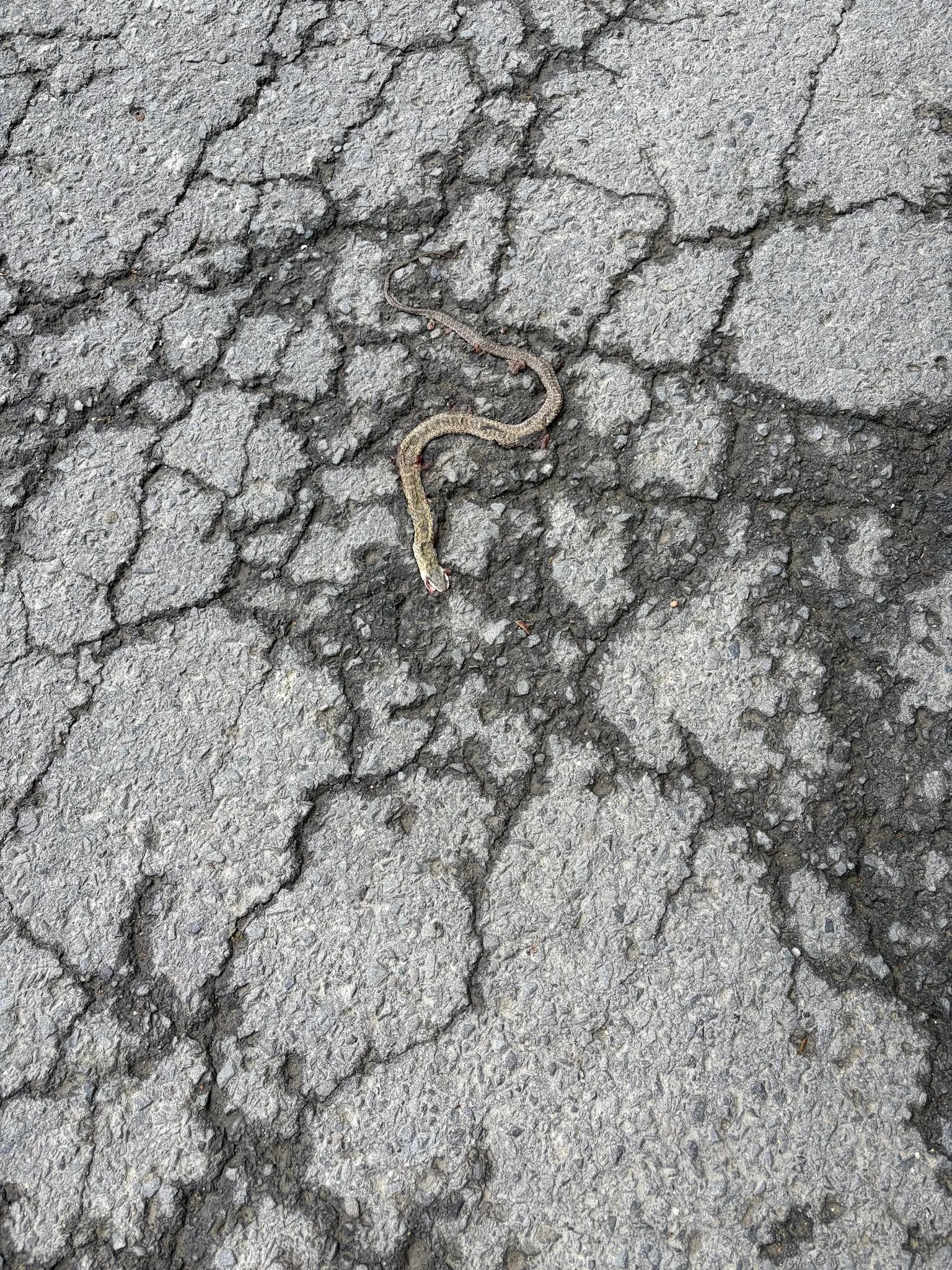
Is this a snake sticker or a real snake that got trampled over? Looks scary …
River close up look
After lunch, I checked out the forest adventure land, one of the attractions here. Sadly, they were close, probably for this whole season. So I set out to get down to the river instead.
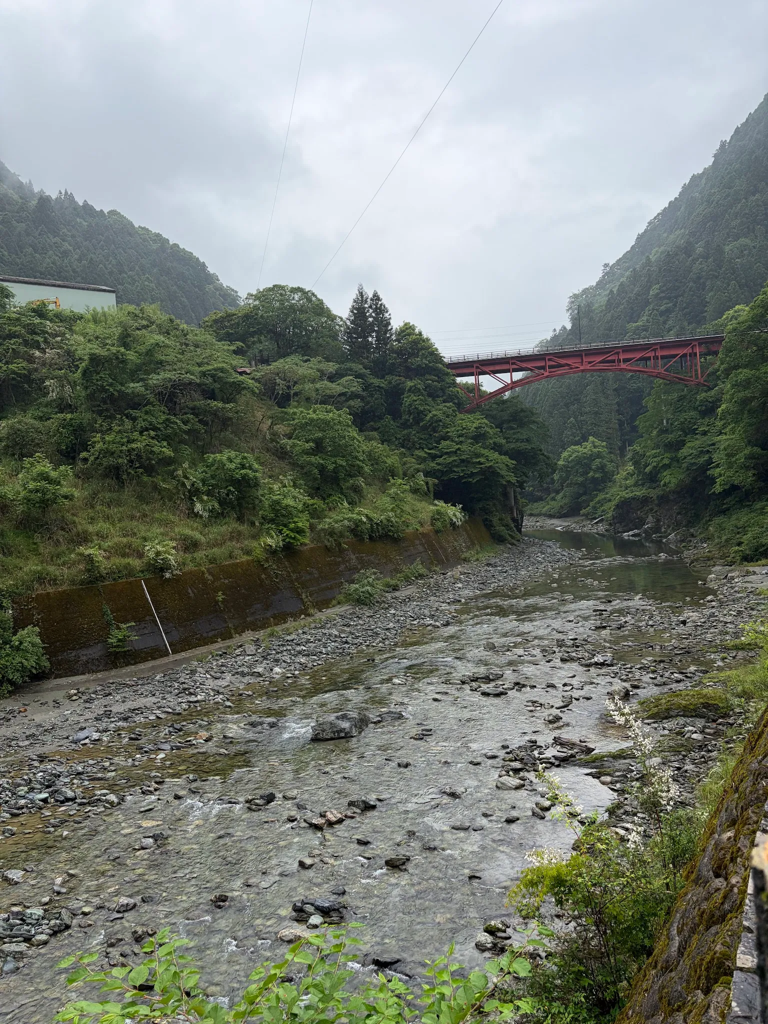
The road down was rather wet and slippery, so this was the closest to the river bed that I could get. Beautiful scene with the red bridge across the river.
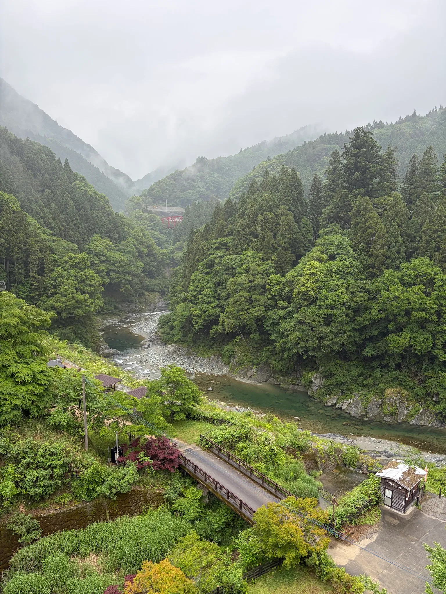
A photo of where I landed at.
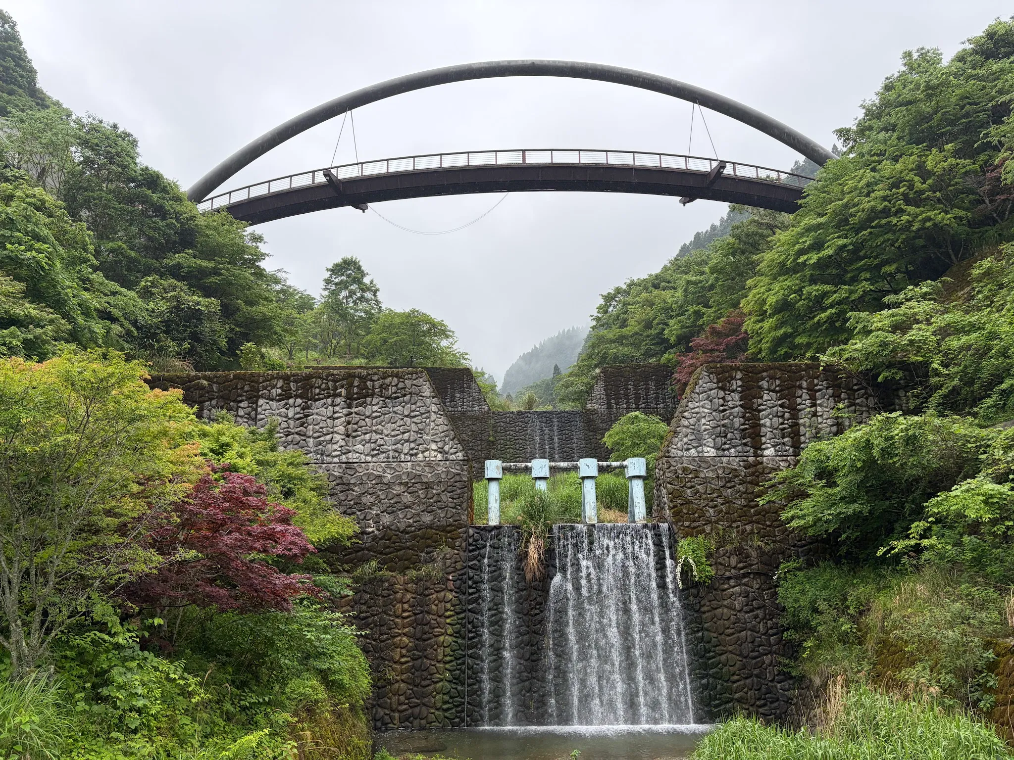
A view from down there, looking up to the waterfalls.
Soba noodle
Hearsay there is a lack of rice in this region, so Soba became the staple; and Soba here is made different from other regions, where the noodle is softer and is soaked in the broth instead.
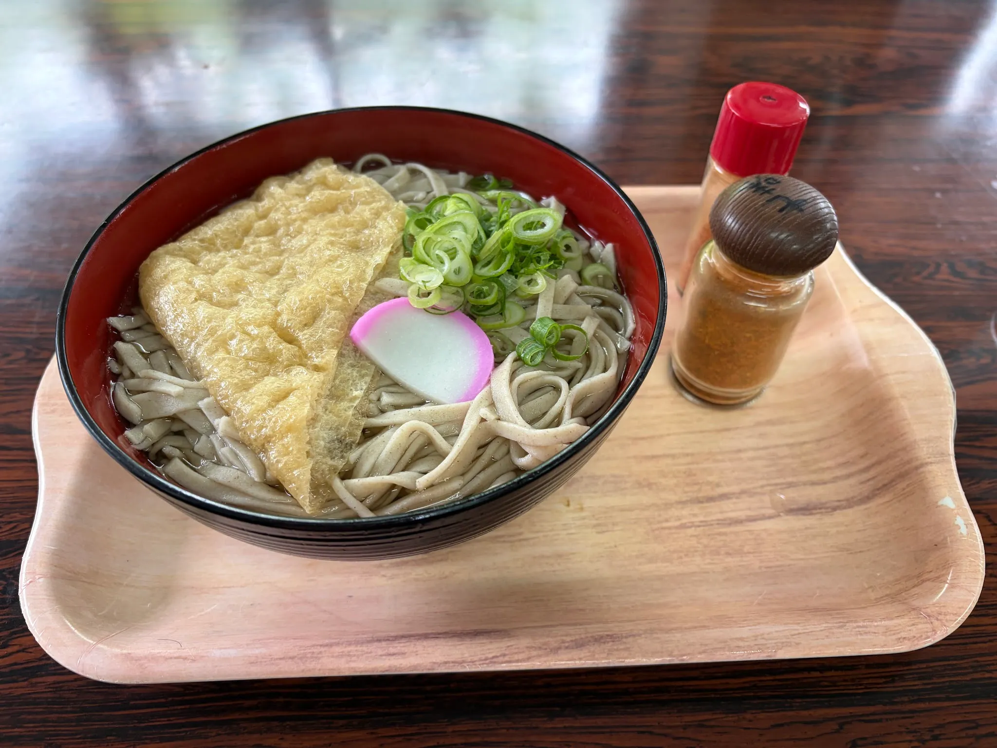
No meat, and the fried tofu is sad. I ordered a large bowl, but only got one piece of tofu, and the noodles were excessive. Not stomach-fulfilling, the dish is poor money spent.
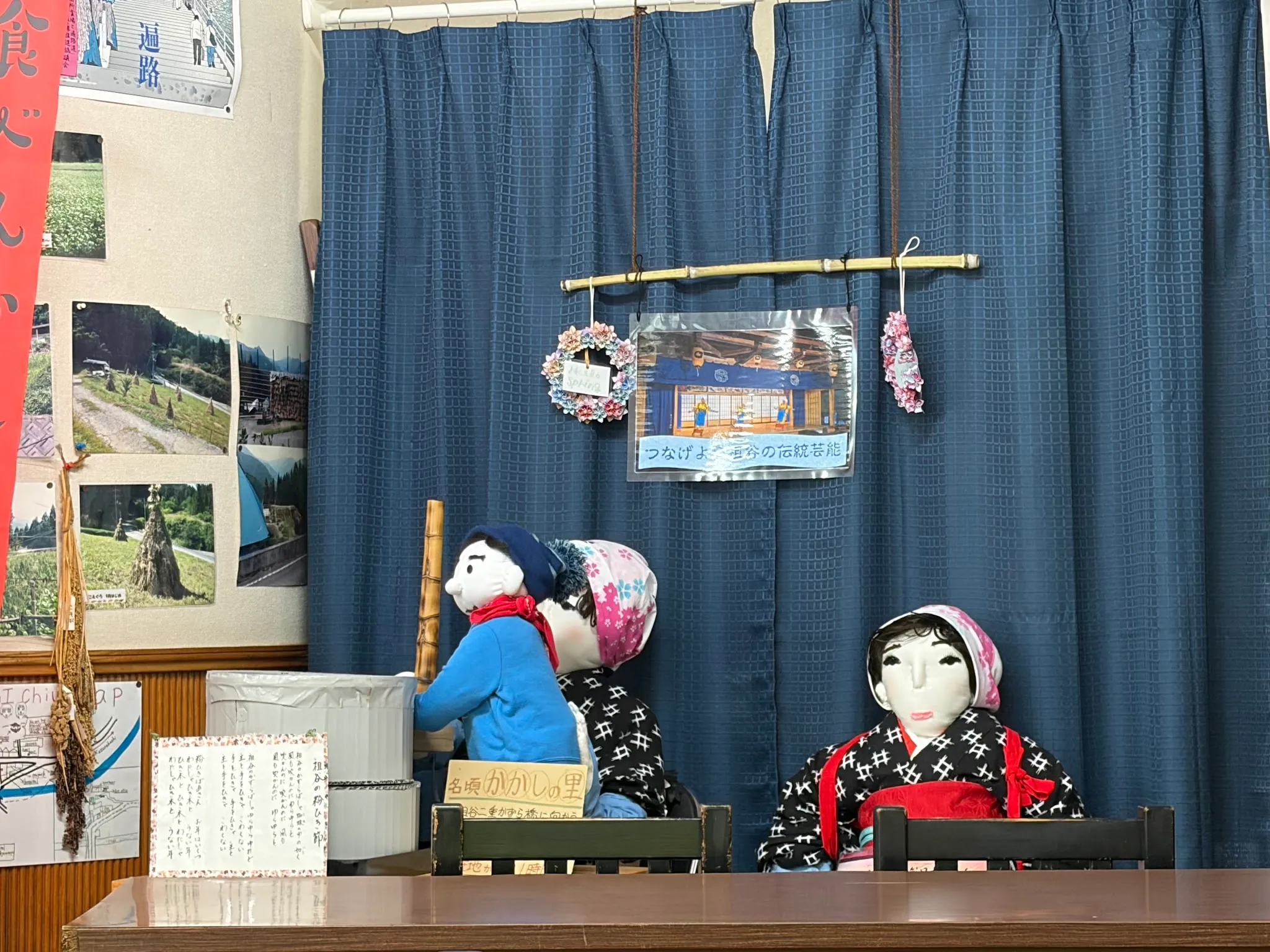
Reminiscent of the Nagoro scarecrow village. People here love to make dolls that represent missing people 🤔
Vine bridge
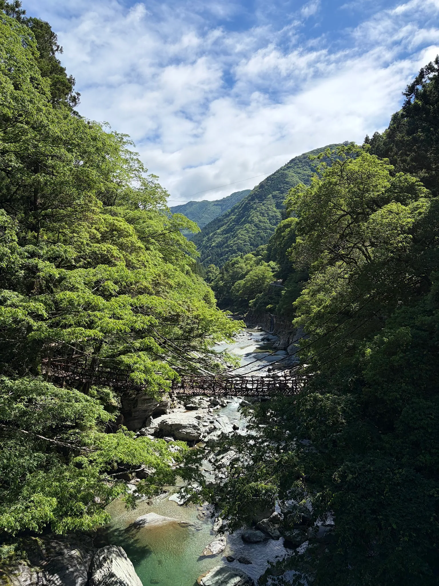
A look at the vine bridge from afar.
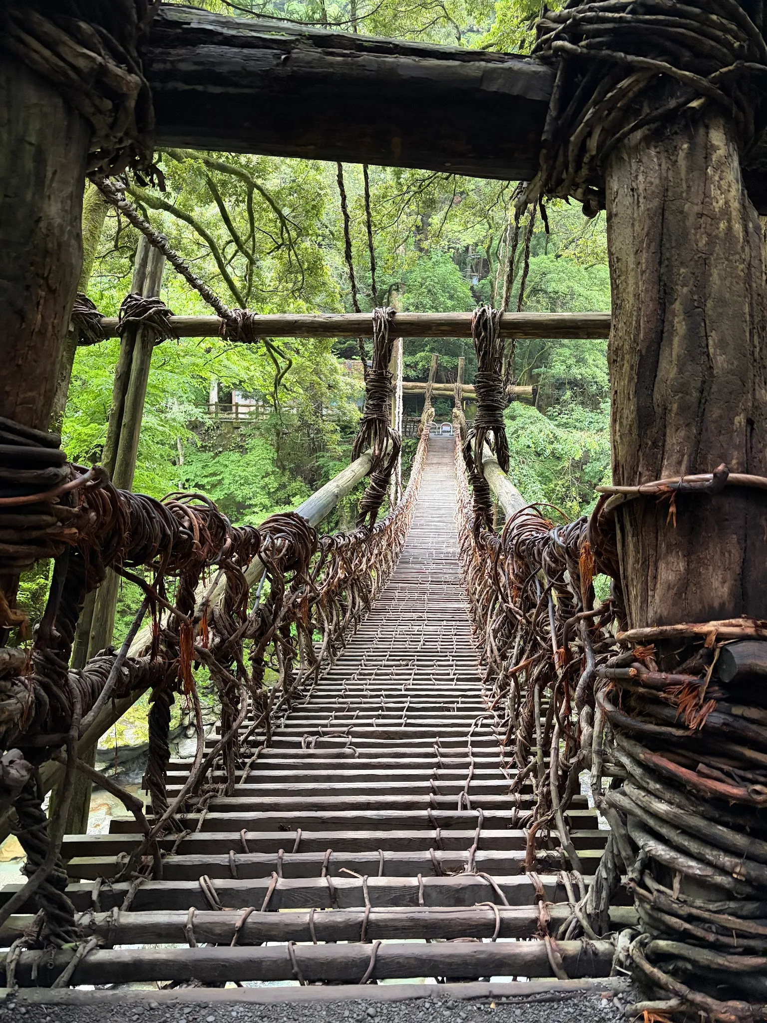
Oh man, this is the highlight of the day! After having rested in my guesthouse for a while, I set out to explore my neighbourhood. Crossing the vine bridge is a greatly adrenaline-inducing activity. It is mainly because I was trying to capture the moment while making sure my phone does not drop.
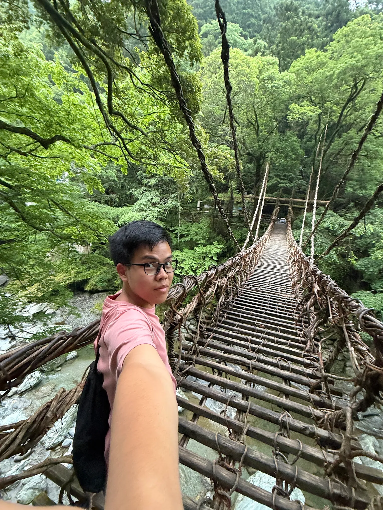
Task started!
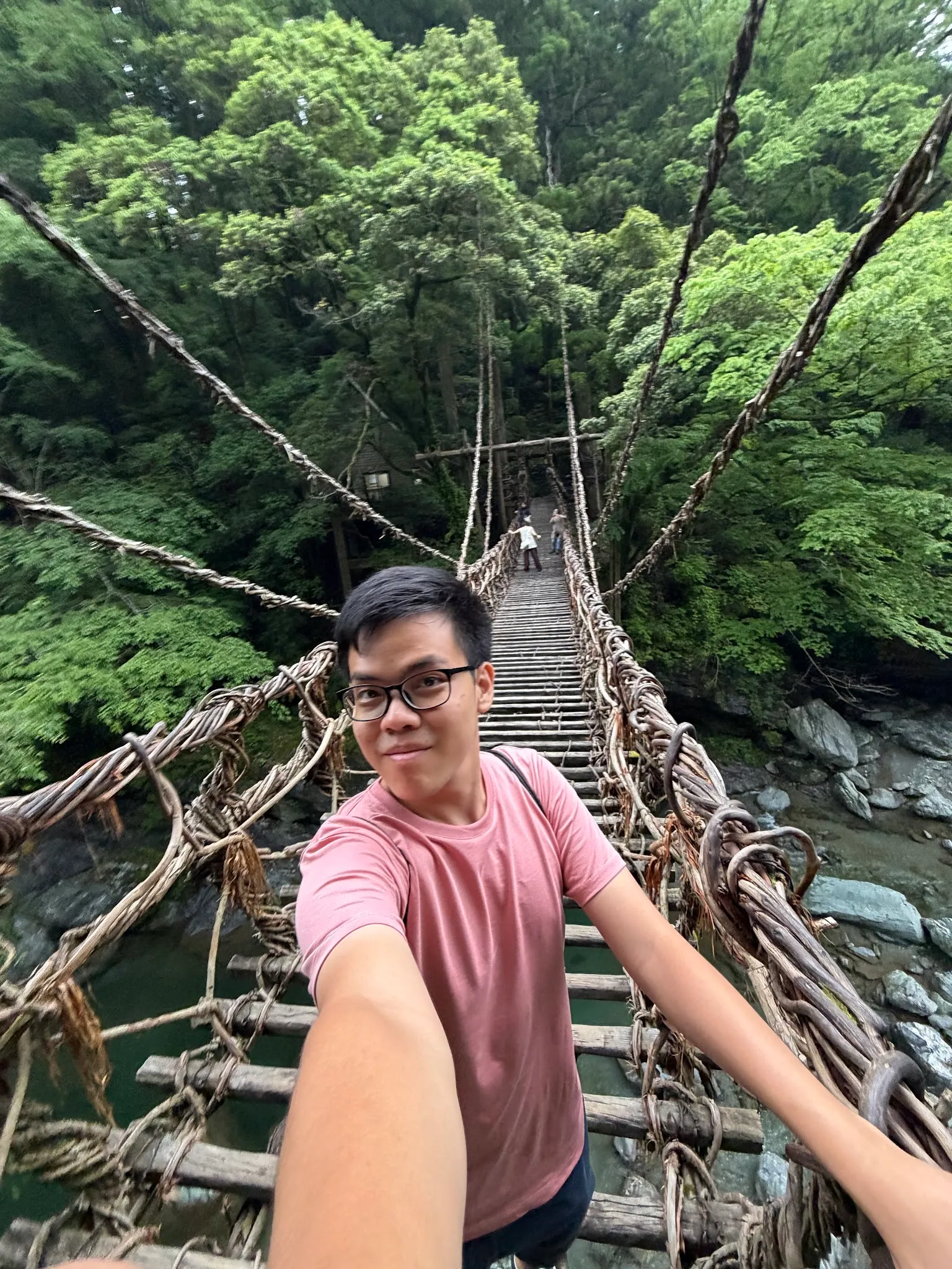
Task completed!
FYI, this bridge is rebuilt every 3 years, and the vine branches actually wrap around steel cores, so the bridge is very firm. That also explains the entry cost to cross the bridge.
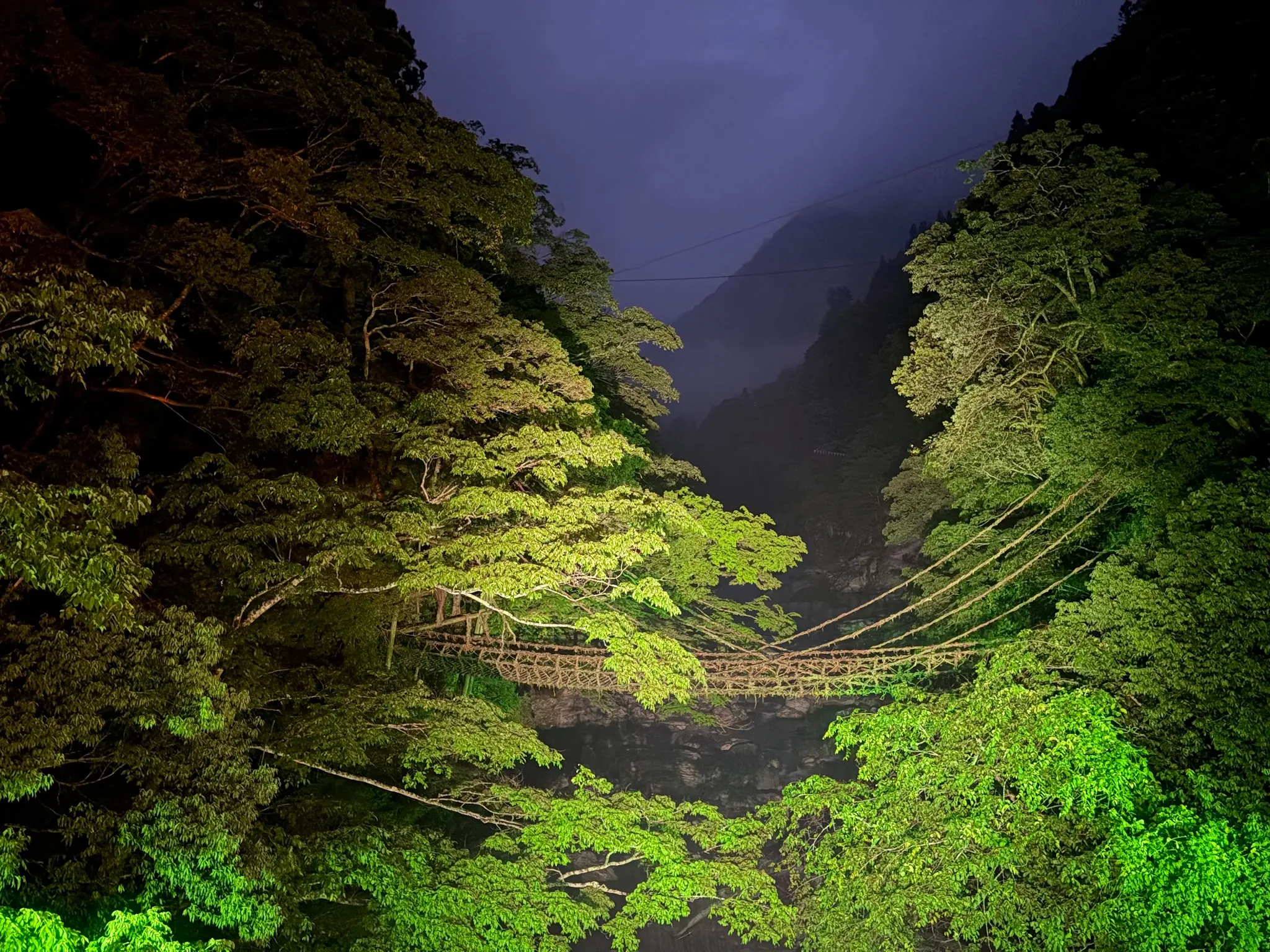
The illumination of the bridge at night is awesome!
River bed
I was here for a landmark called “Biwa waterfall”
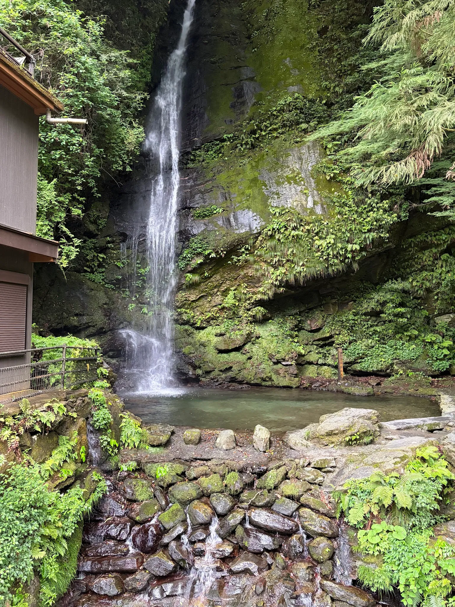
But meh, it is normal. However, I got to go to the river bed. This is the climax of today!
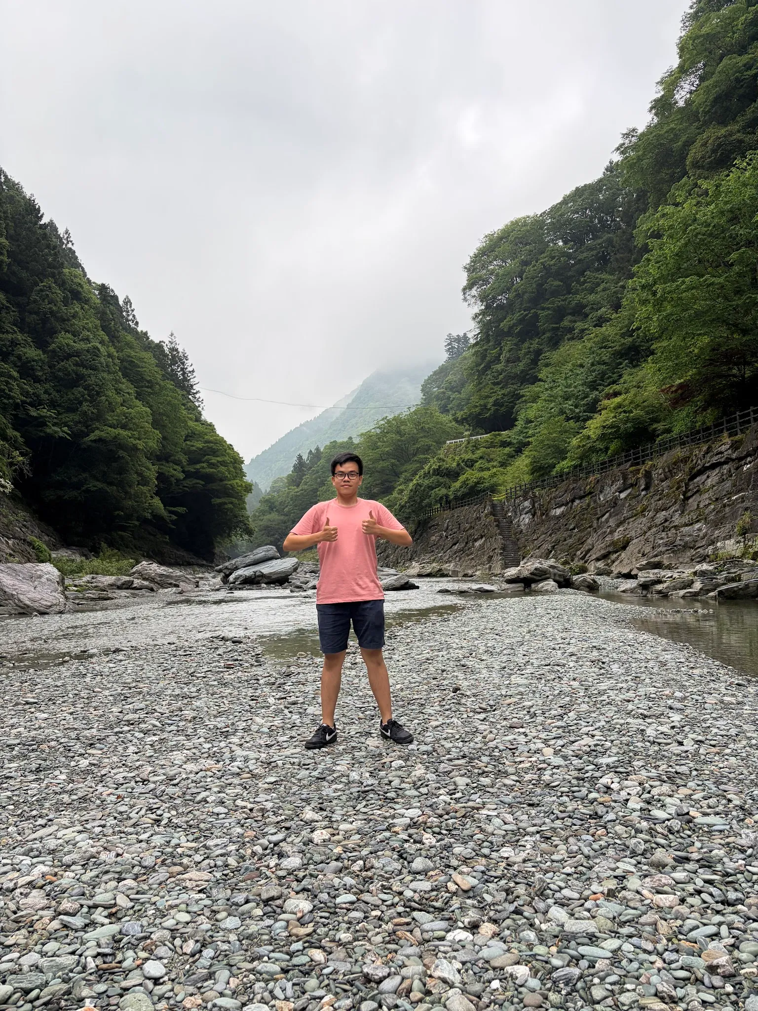
Managed to snap lots of photos at the river bed!
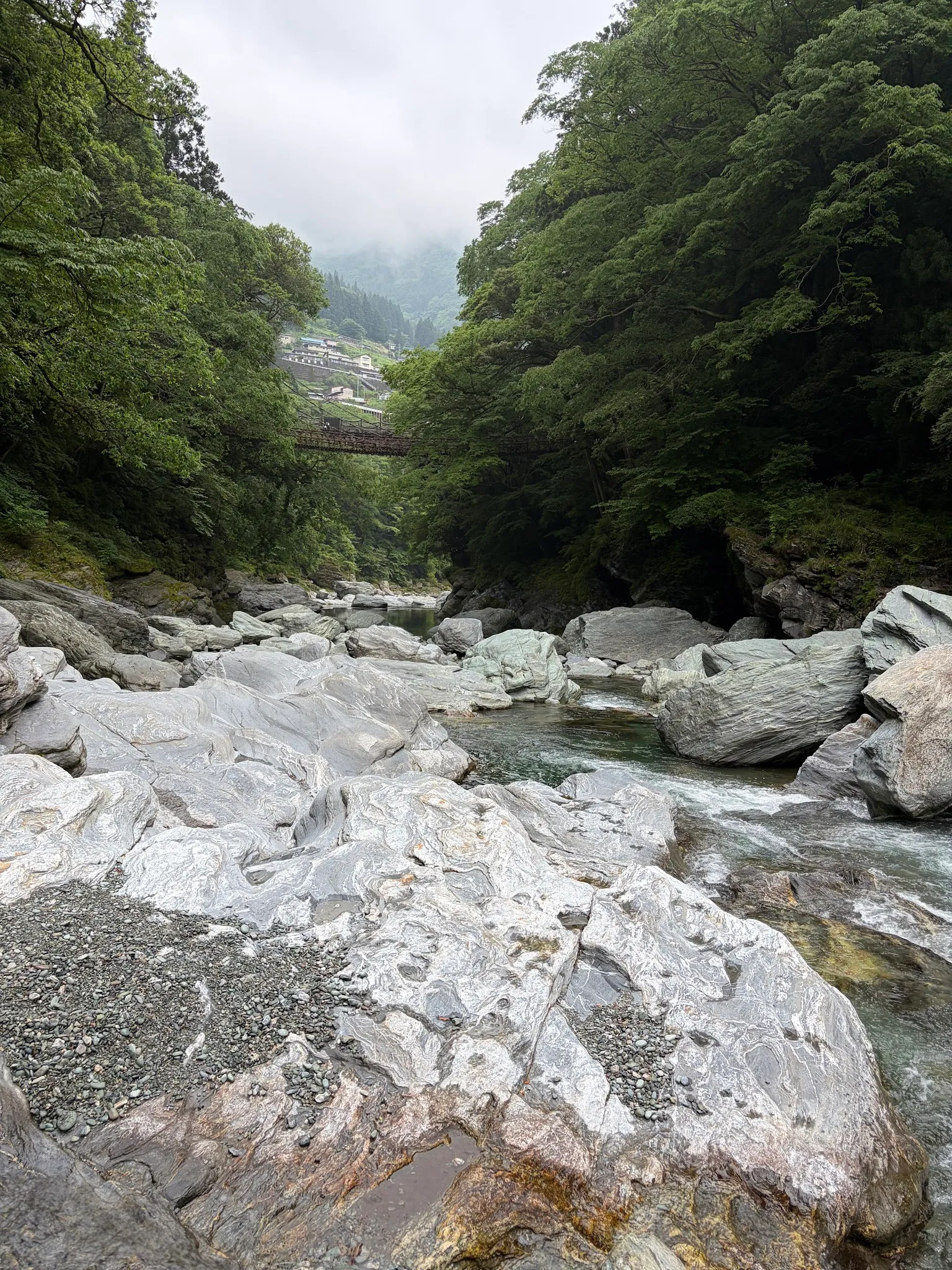
Another view of the vine bridge!
Dinner set meal
I was heavily craving for meat since I did not have meat for lunch. There are two restaurants open at night, the guesthouse reception told me. The other restaurant was nearer, but offered little meat, so I went a bit further to this restaurant.
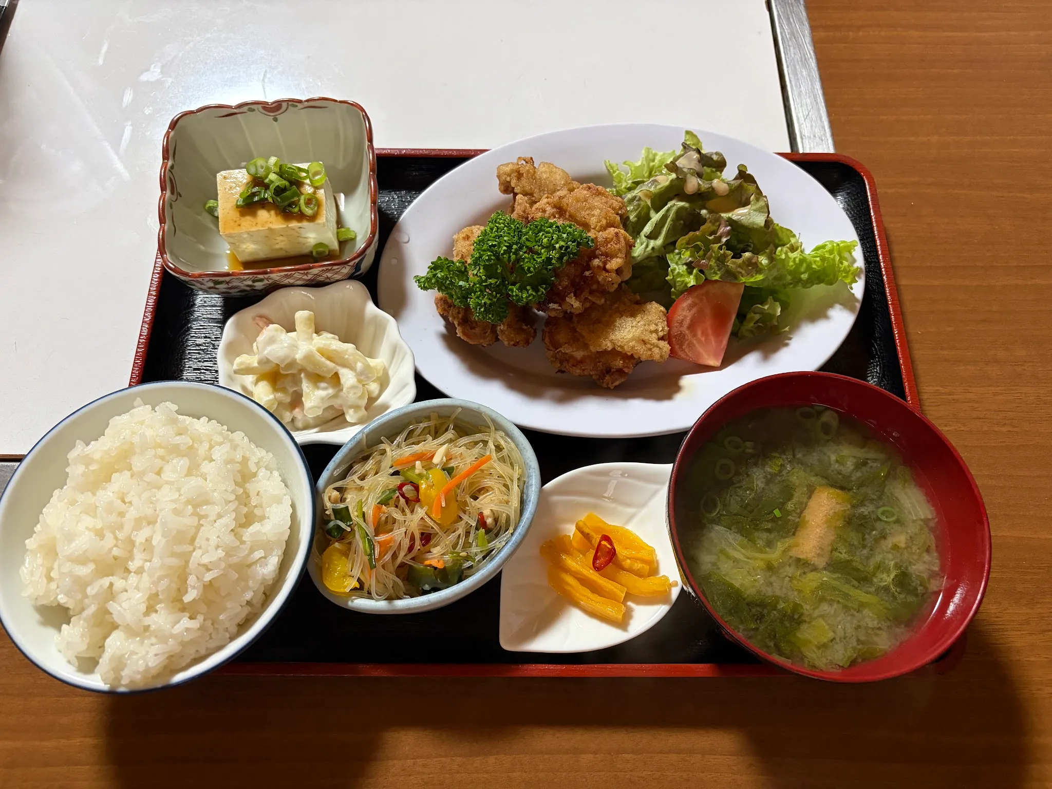
Totally worth the effort! The fried chicken is good, all the condiments taste great.
Mt Miune
The next day, I set out early to climb Mt Miune. Iyatimes says the hike up takes 3hr and the hike down takes 2hr, and I probably need to reserve more time since I am not a professional hiker. Since I wanted to catch the last bus back from Nagoro, I needed to make sure I started the climb early, and I set out from my guesthouse at 7.30am. I took a taxi, which is quite costly :( But it was because bus did not run that early, and it was all worth it for the fun.
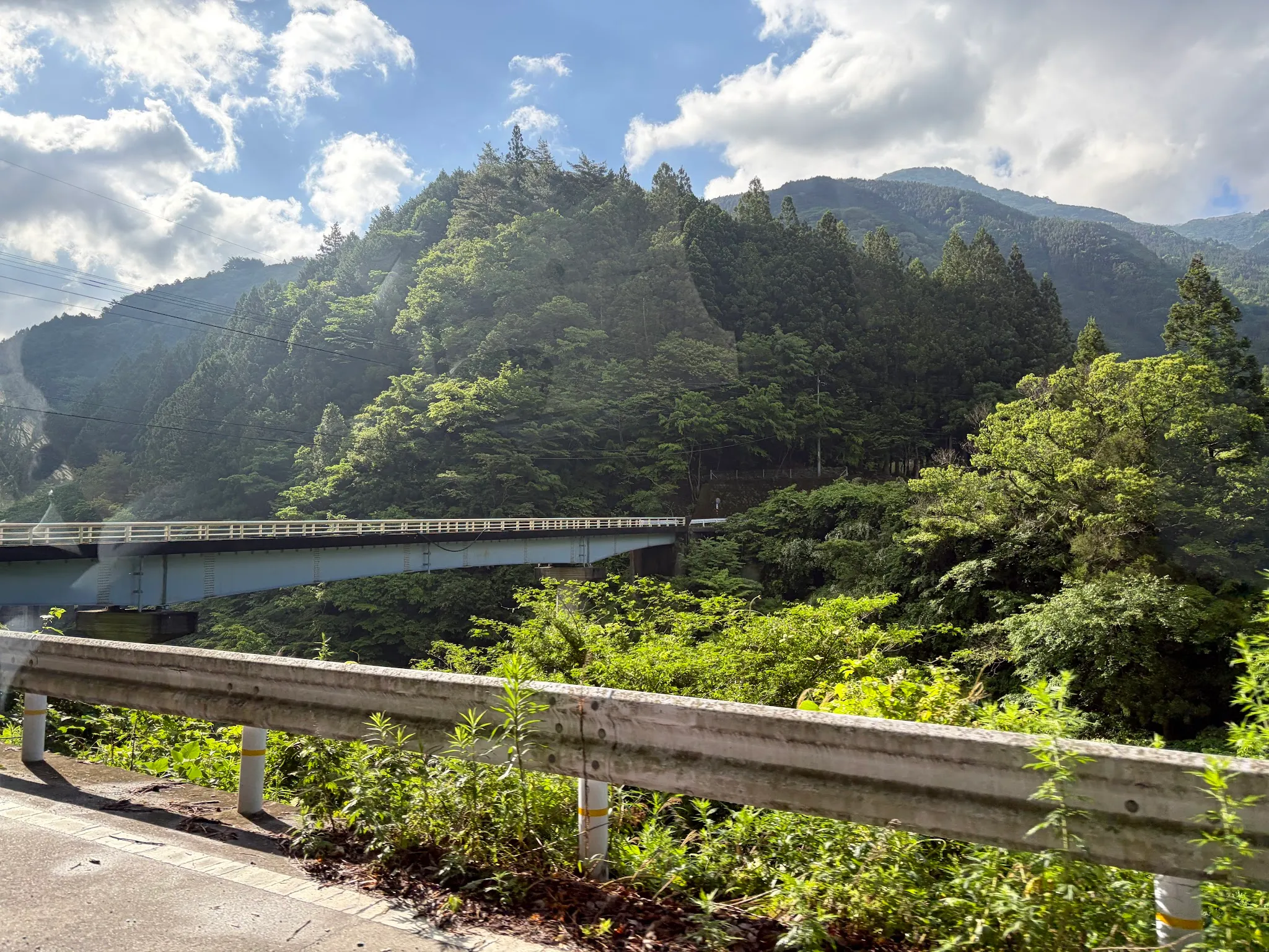
Hearsay at the top, there is a hut where people can camp overnight. My goal of the day was to reach the hut.
Beautiful roads and scenery along the way.
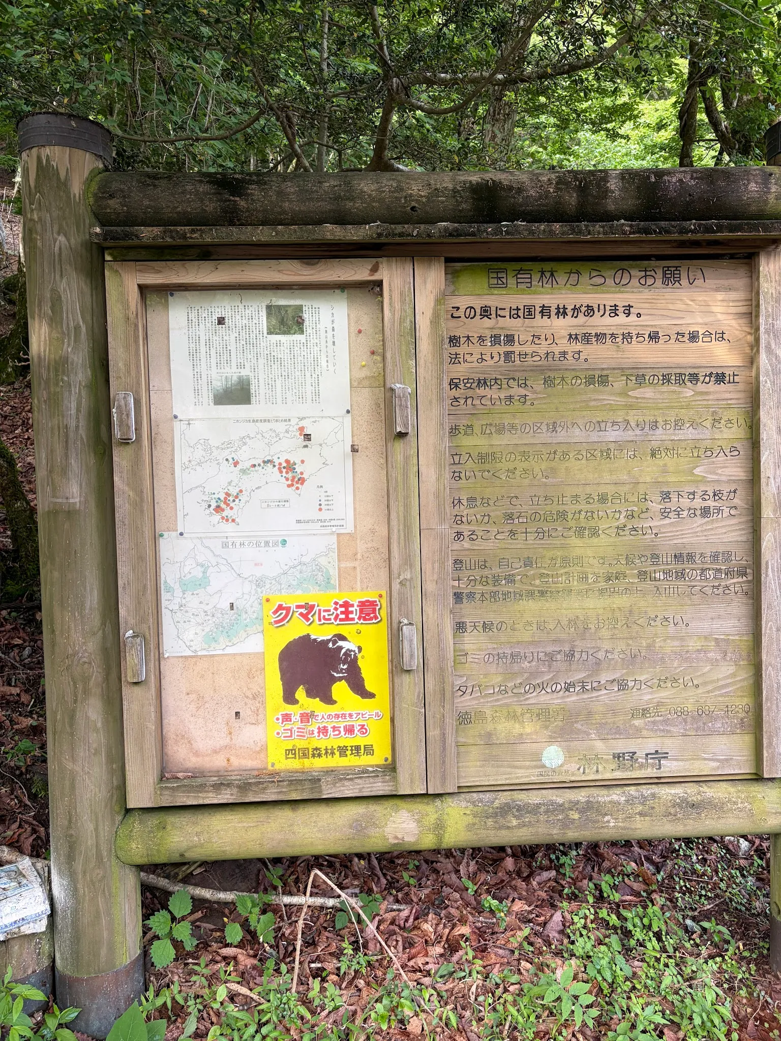
Beware, there are bears! This is the third time I have seen a bear warning. But hearsay Shikoku has very few bears, and they actively avoid humans. So, good to go.
The hike started along the river, with a clear walkway in sight.
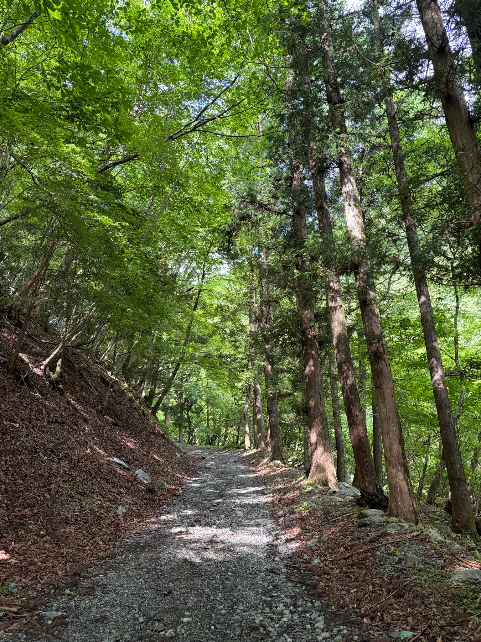
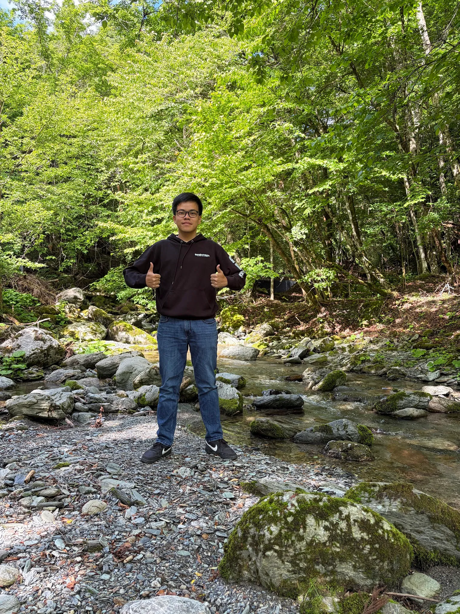
Managed to snap a photo at the river bed!
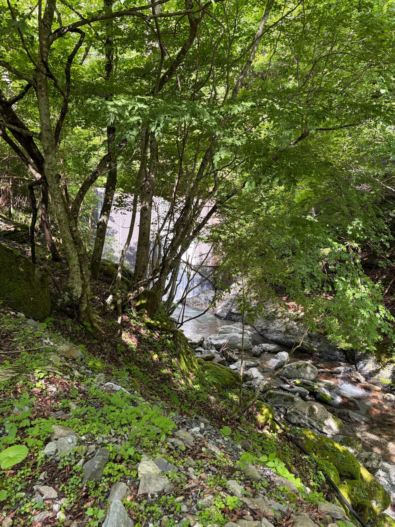
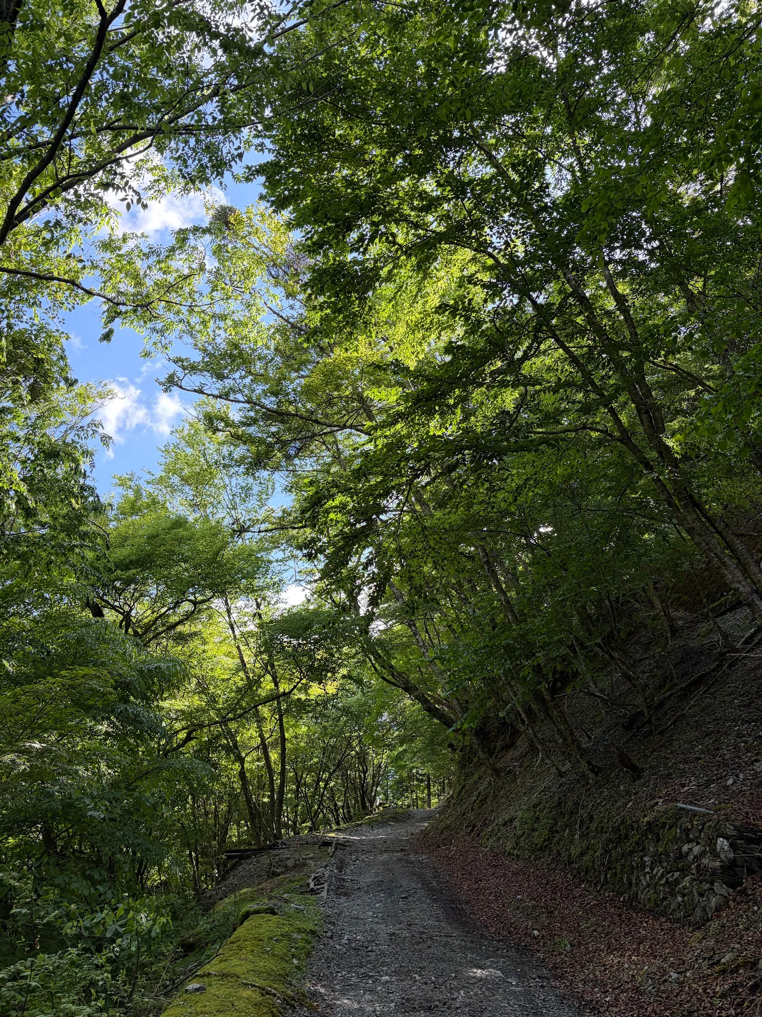
The trail is beautiful, but can be fearsome, especially when both sides are trees. You never know when something comes out of the jungle.
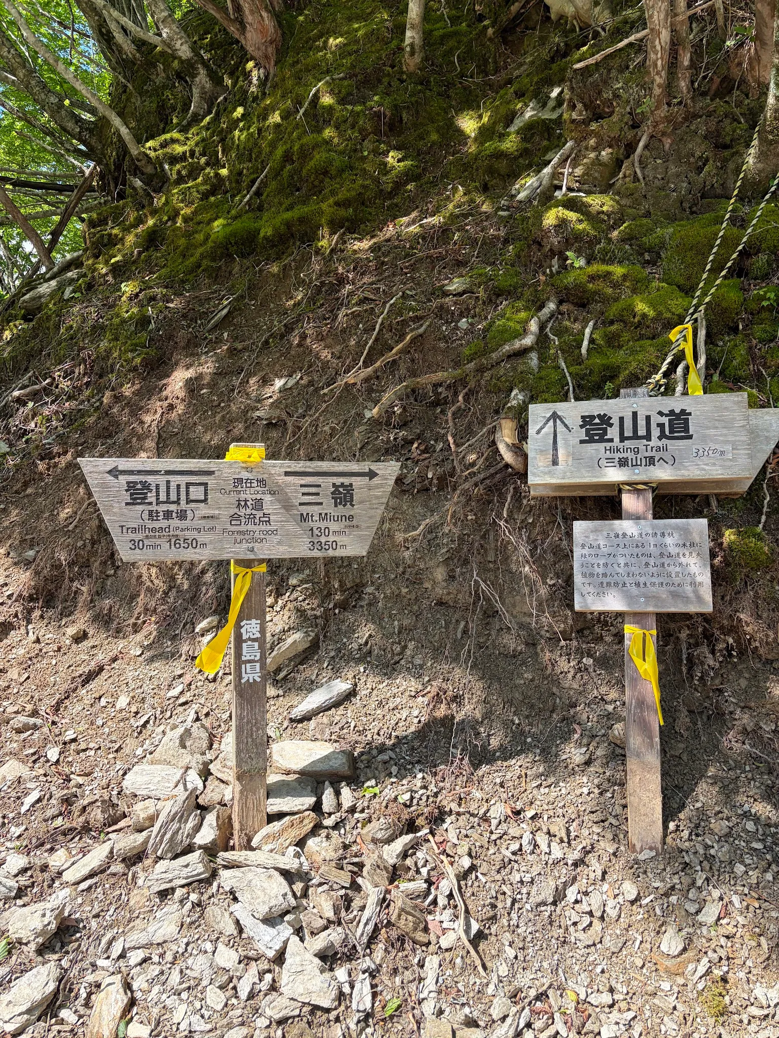
Oh man, did I come from the wrong direction? Why does the trailhead not point to the direction I was coming from? That was why it took 1 hr just to travel 1.6km …
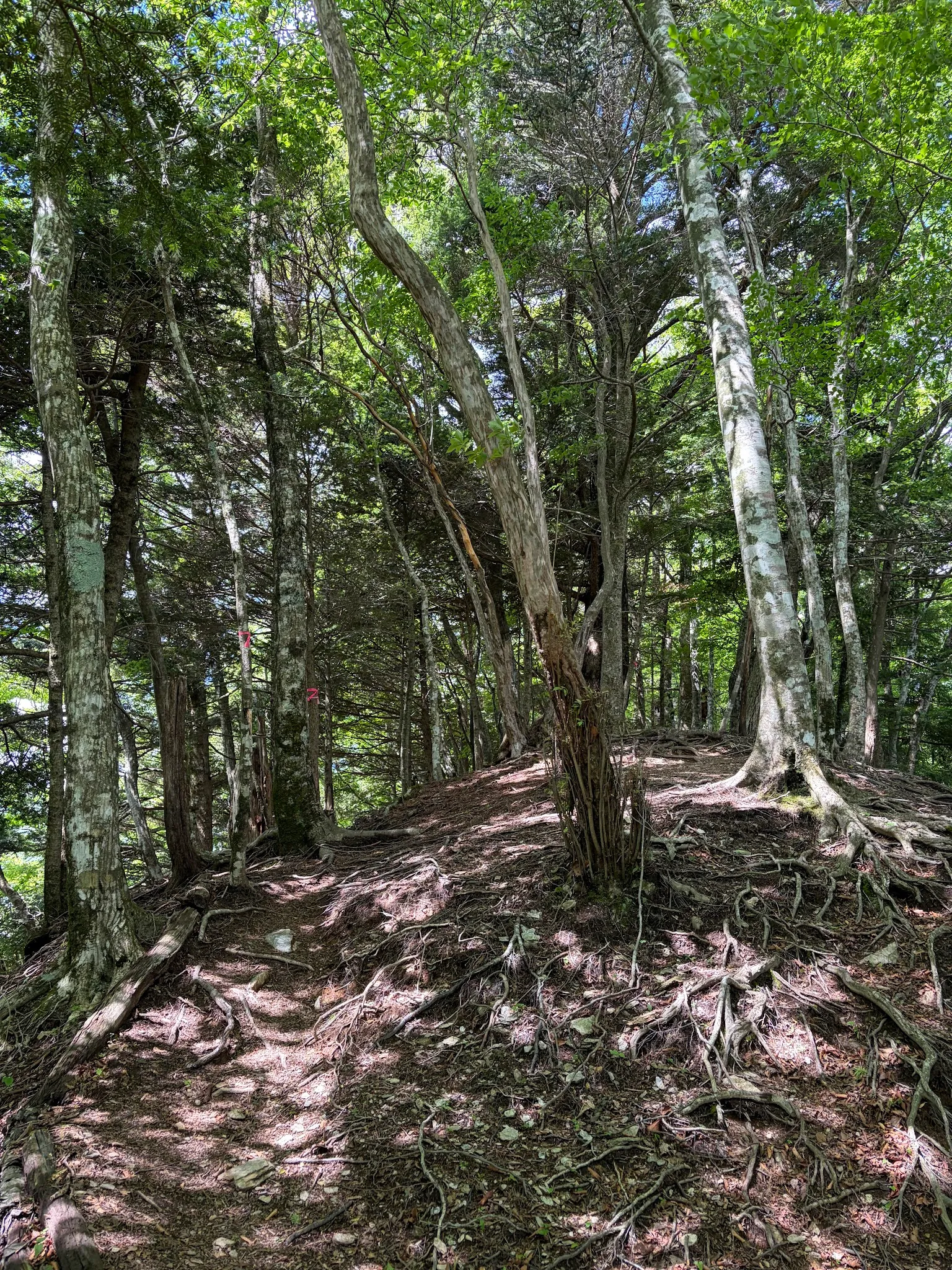
The path ahead just doesn’t have any clear walkway! It is a walk in the middle of the jungle, with pink markings indicating where the trail is. Oh man, the climb is steep, making me forget the fear that I might be in bear territory.
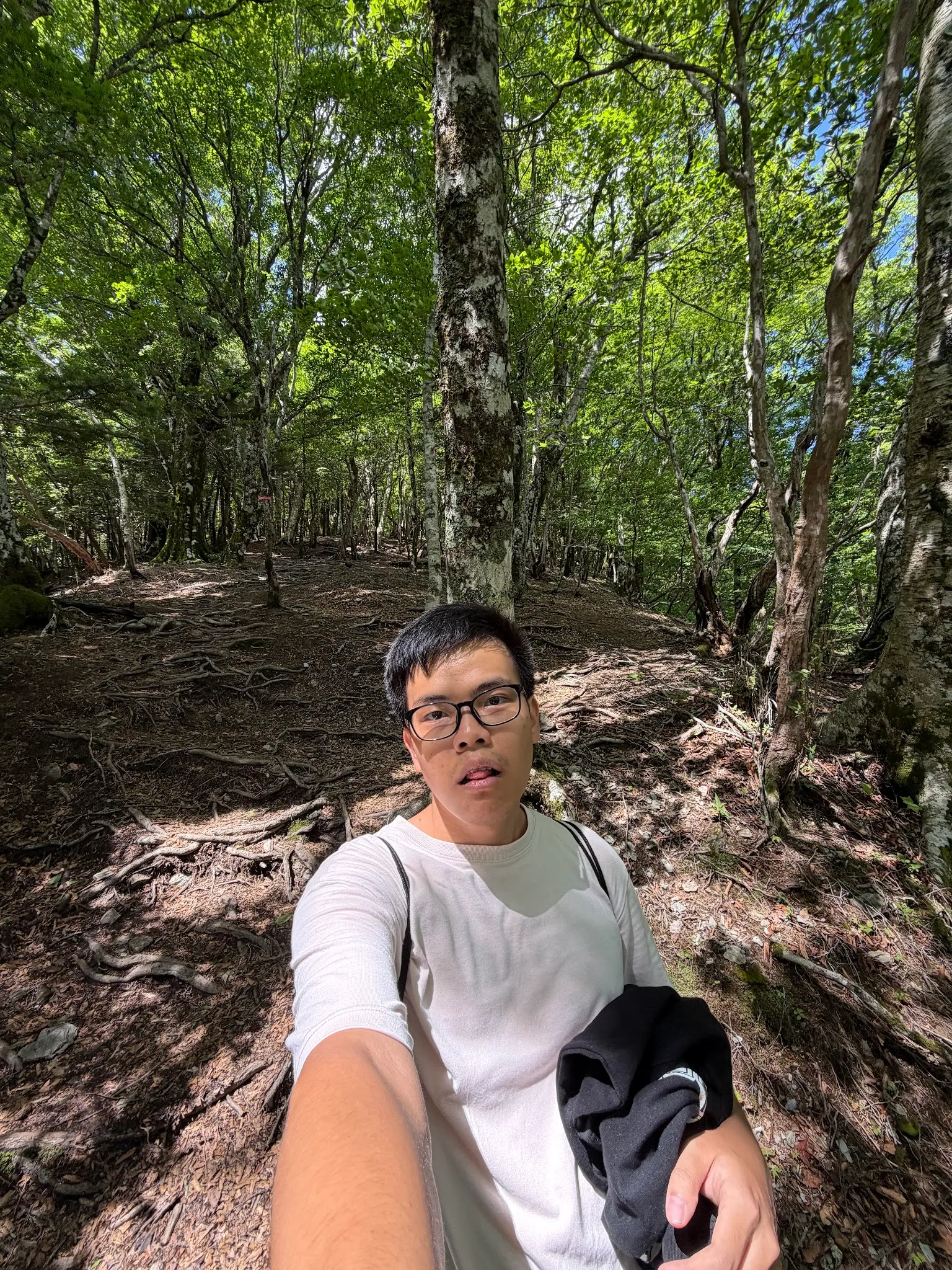
Two-third of the way up! Where is the hut? Maybe I should have brought hiking sticks.
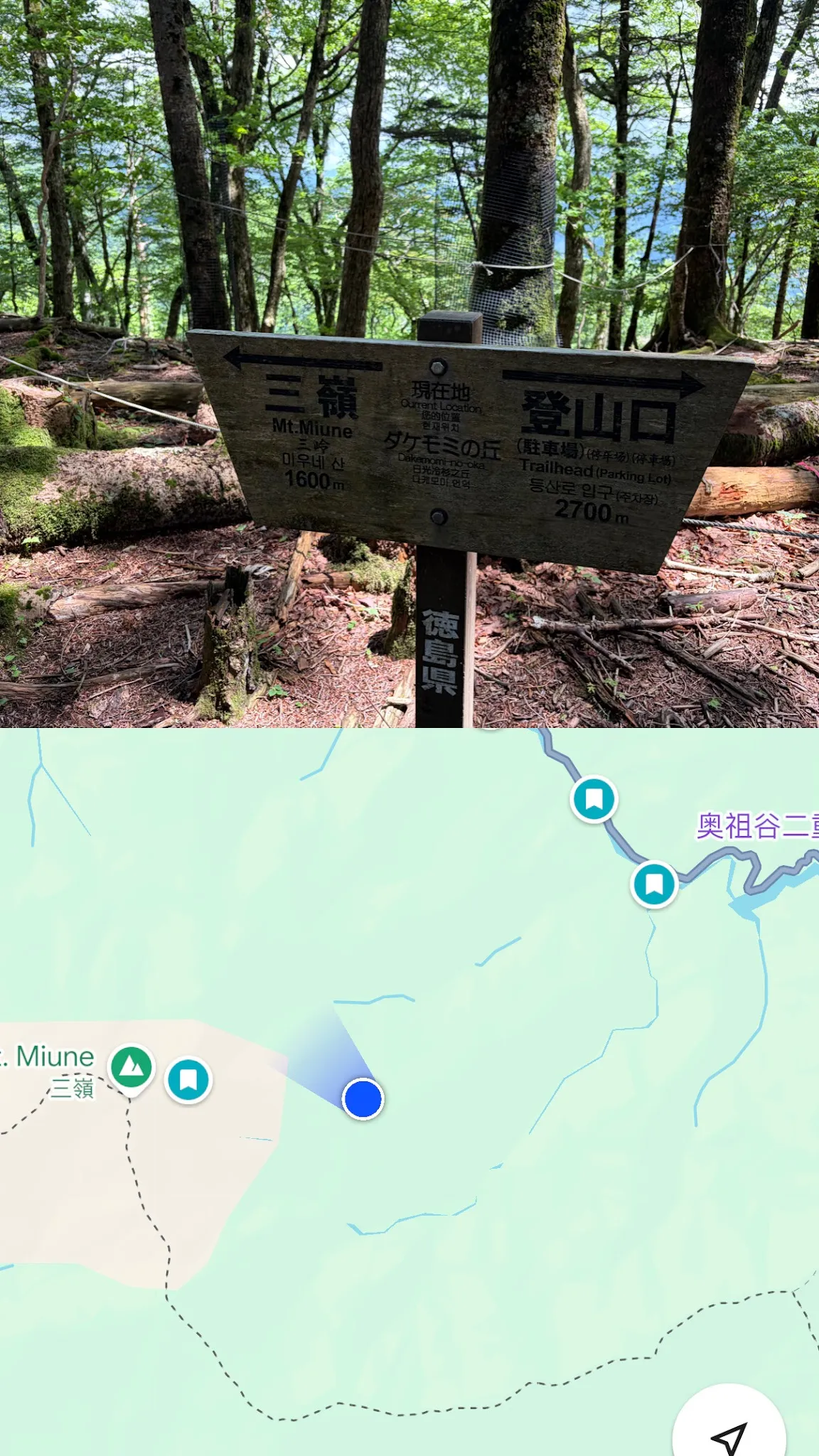
What?? Still 1.6km away? Doesn’t look 1.6km on my GPS leh …
Near the top, the path went zigzag because it was too steep.
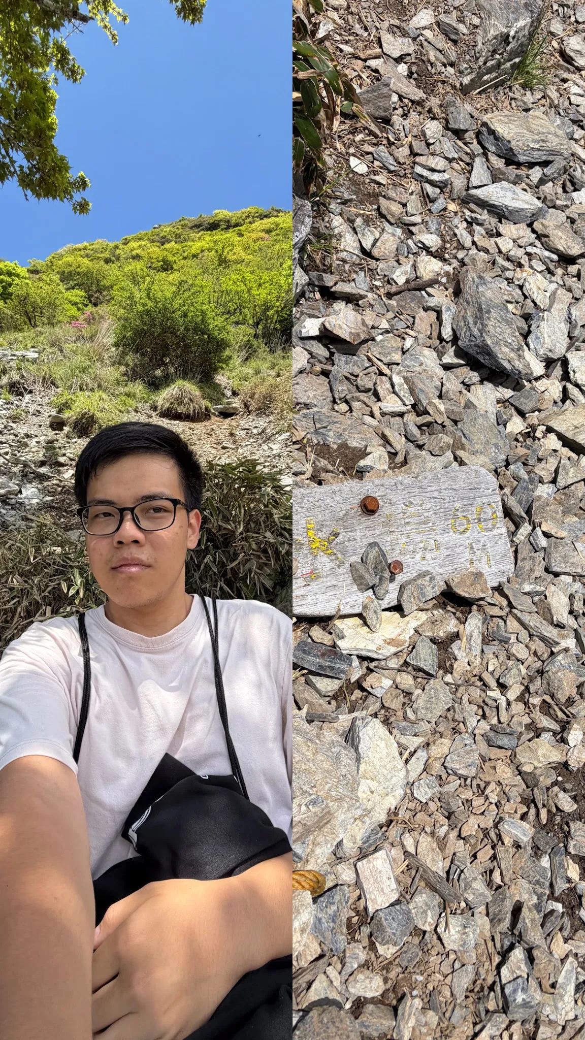
I gave up. The top part was too steep, 45 degrees (measured with a clinometer). How did someone walk up this slope with slippery rocks? Probably because they have hiking sticks … How abt going down, would I just slide down? I was 60 meters away from the hut though 🤔.
I reached the top some time past 11am. It really took 3hr.
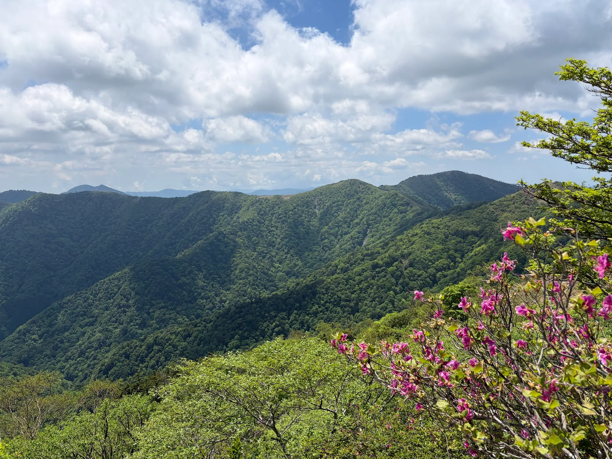
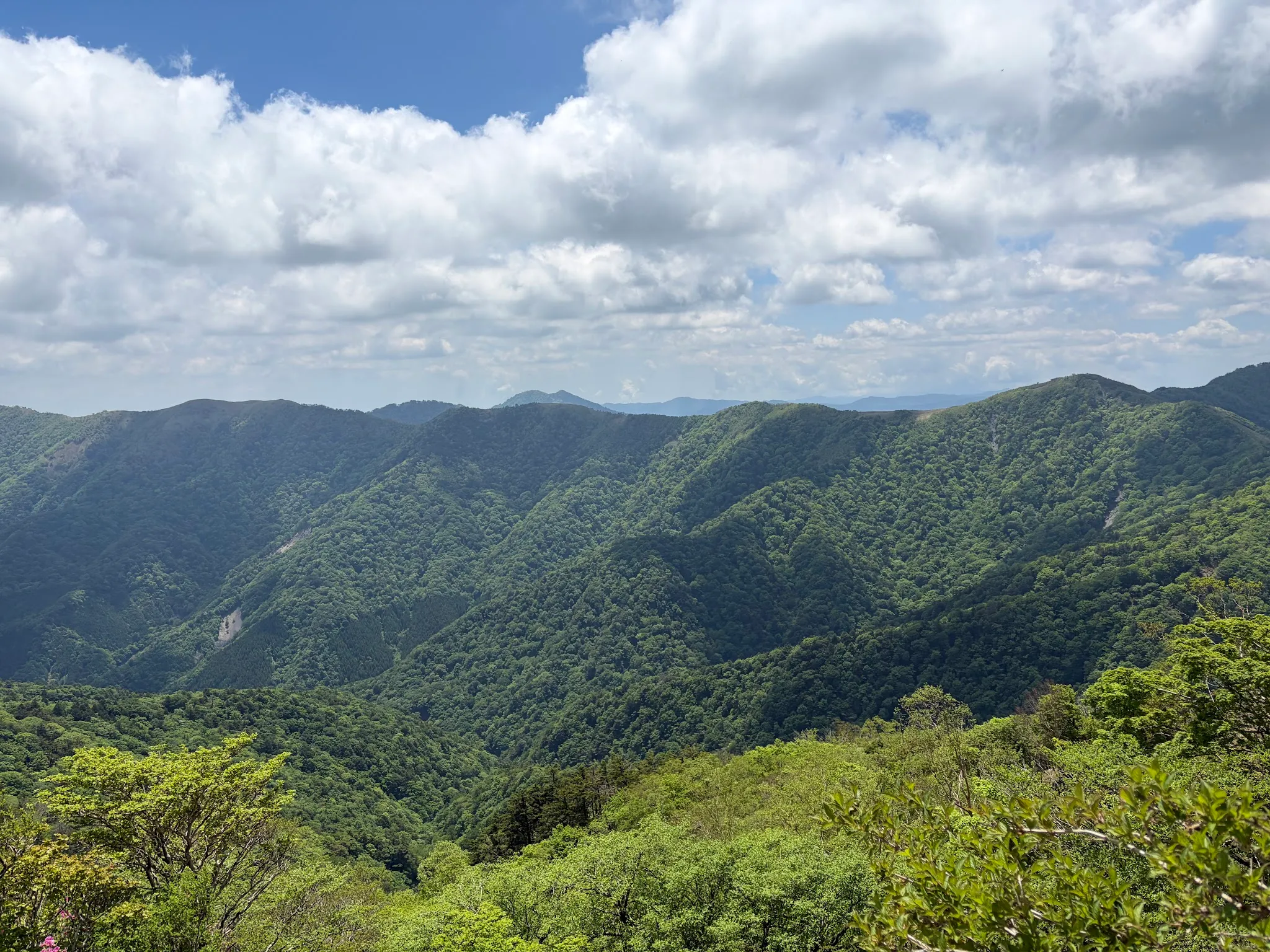
The view is clear with no trees blocking, and is breath-taking. I sat there for a while, watching the view while enjoying my biscuits (and some bees and bugs turning on their motor engines and flying around). I prepared some snacks beforehand since I would not have lunch. The biscuits were so nice at the time I needed them the most.
After a while, I started the descent at 11.30am, since I could not bear the sound of the motor engines.
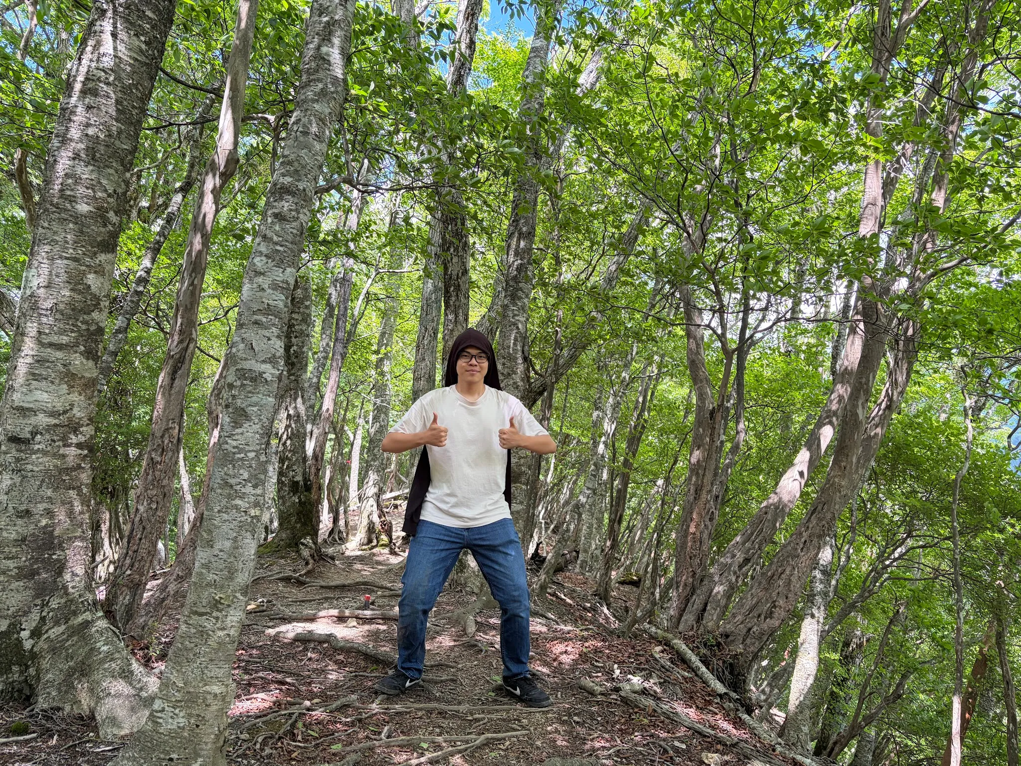
Photo snappy snappy on the way back to civilisation!
Since it was quite early on my way up, I only saw one other man walking down, and that was near the top. On my way down, I saw quite a handful of others, around 15, sparingly. Most, if not all, I believe, are Japanese. Most came in pairs, some came in groups, only one or two came solo. Some come with bear bells, which are apparently not that effective in scaring the bears away fyi.
Hikers are quite friendly, as if we see another of the same human species in this vast jungle. We said “konichiwa” to one another whenever we walked past. Some even tried to talk to me in Japanese, only to realise I could not speak Japanese :)
At the checkpoint above, since I went the convoluted way, this time, I have the opportunity to go the correct way.
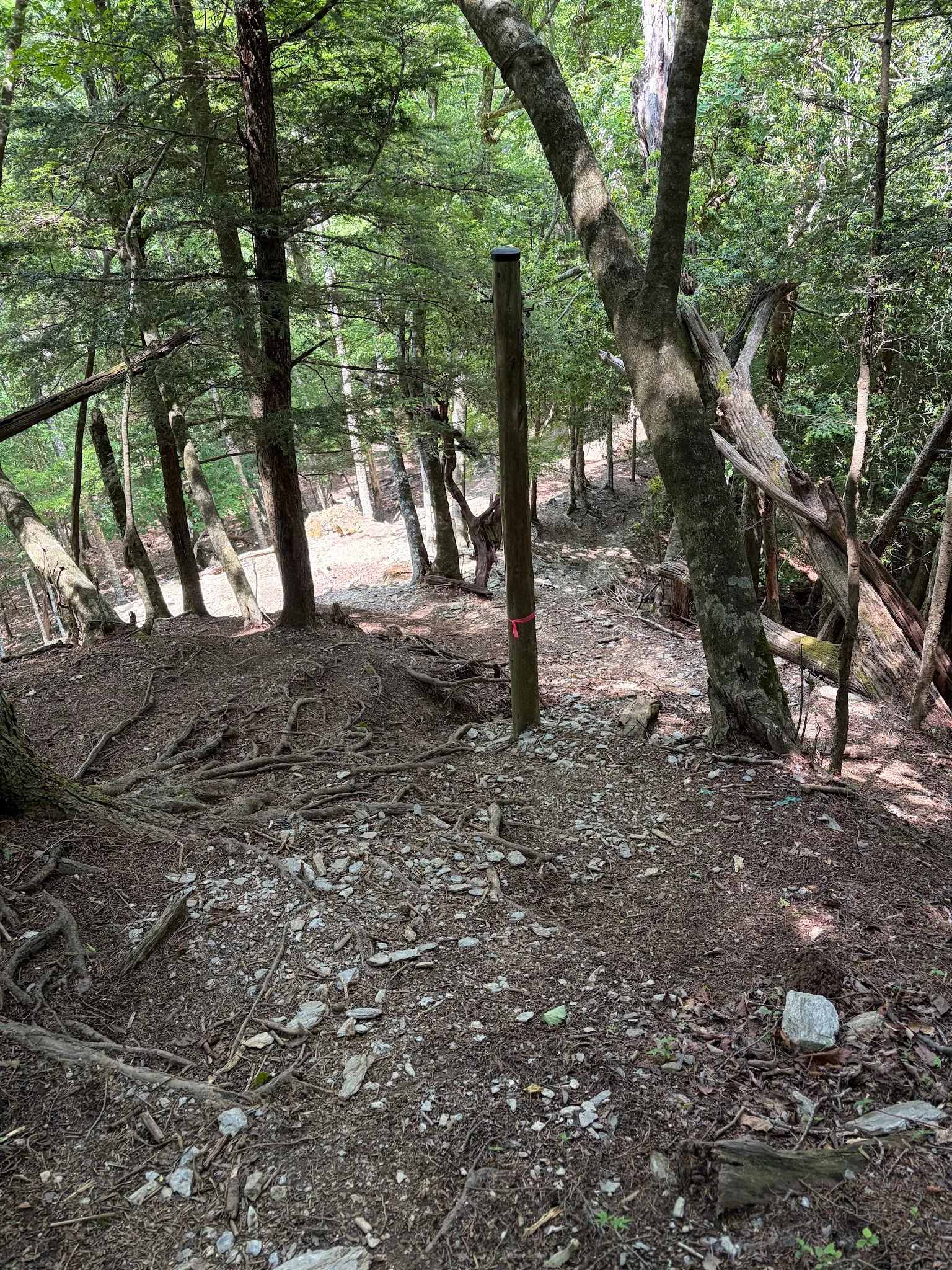
Oh man, the second part of the descent was way steeper than the first part. While I did not have much trouble going down the first part, I had to go slowly for the second part so that I would not fall down. Perhaps I was fortunate to find the convoluted way up.
And I think I saw a bear close to the trailhead … When I was there, I saw two animals running in opposite directions. The one running to the left was a deer. The one on the right ran too quickly, so I could not see clearly. But from the posture, it really looked like a bear. Since bears have much stronger olfaction, it probably had seen me then ran away. Was the bear trying to hunt the dear but then back down because it saw me? Or was the bear changing its target to me? Nevermind, bears are not ambush predators, and since I am still alive. I must be careful regardless.
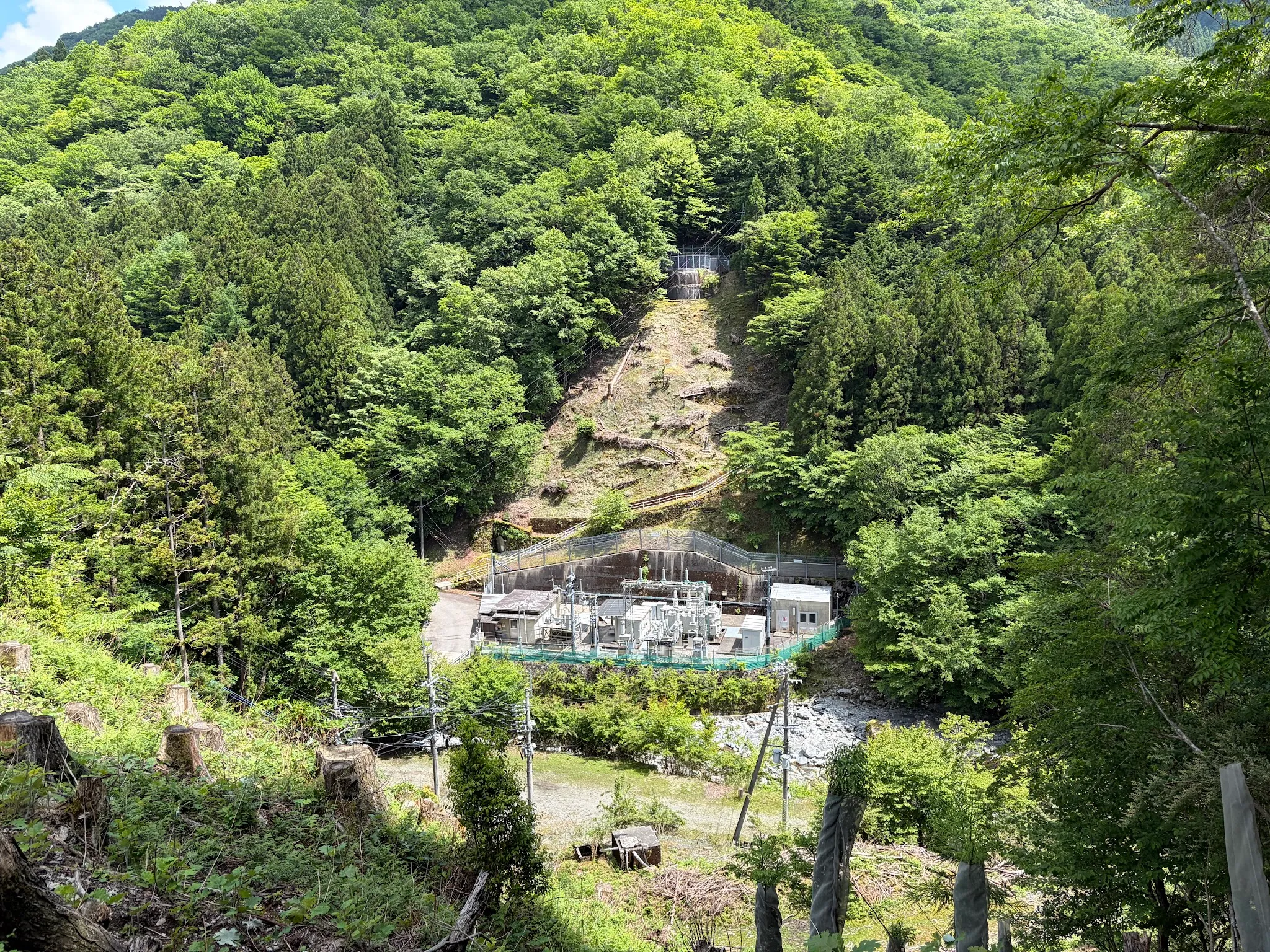
Spot a random hydro-electric power plant.
Ended up reaching the bottom at 1.30pm. It really took 2hr to descend.
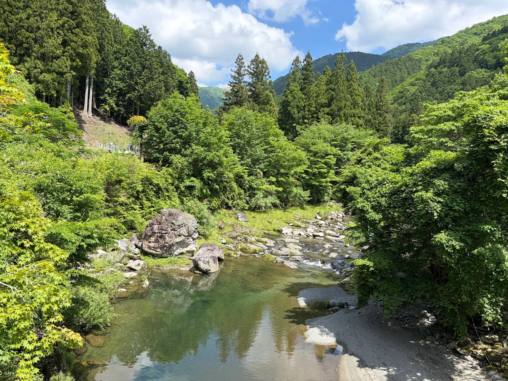
Beautiful view of the Iya river on the way out.
Tips
- Wear long pants and covered shoes, to make sure that fallen branches do not cut your legs, and avoid venomous snakes. I did not see any snakes though.
- Bring a jacket. At the bottom you would probably not need it, but near the top, the wind blows really strong.
- Bring some snacks. You would turn hungry on the way up.
- Bring lots of water. I only brought one bottle, which was not enough.
- Bring hiking sticks. I did not, which I regretted so much.
- Make sure you see ribbons (yellow, pink, blue) or sticks on the ground and follow them. That is the easiest path to walk.
Nagoro scarecrow village
The bus from Nagoro departed at 3.20pm, so I had a bit of time exploring the scarecrow village. On my sore feet.
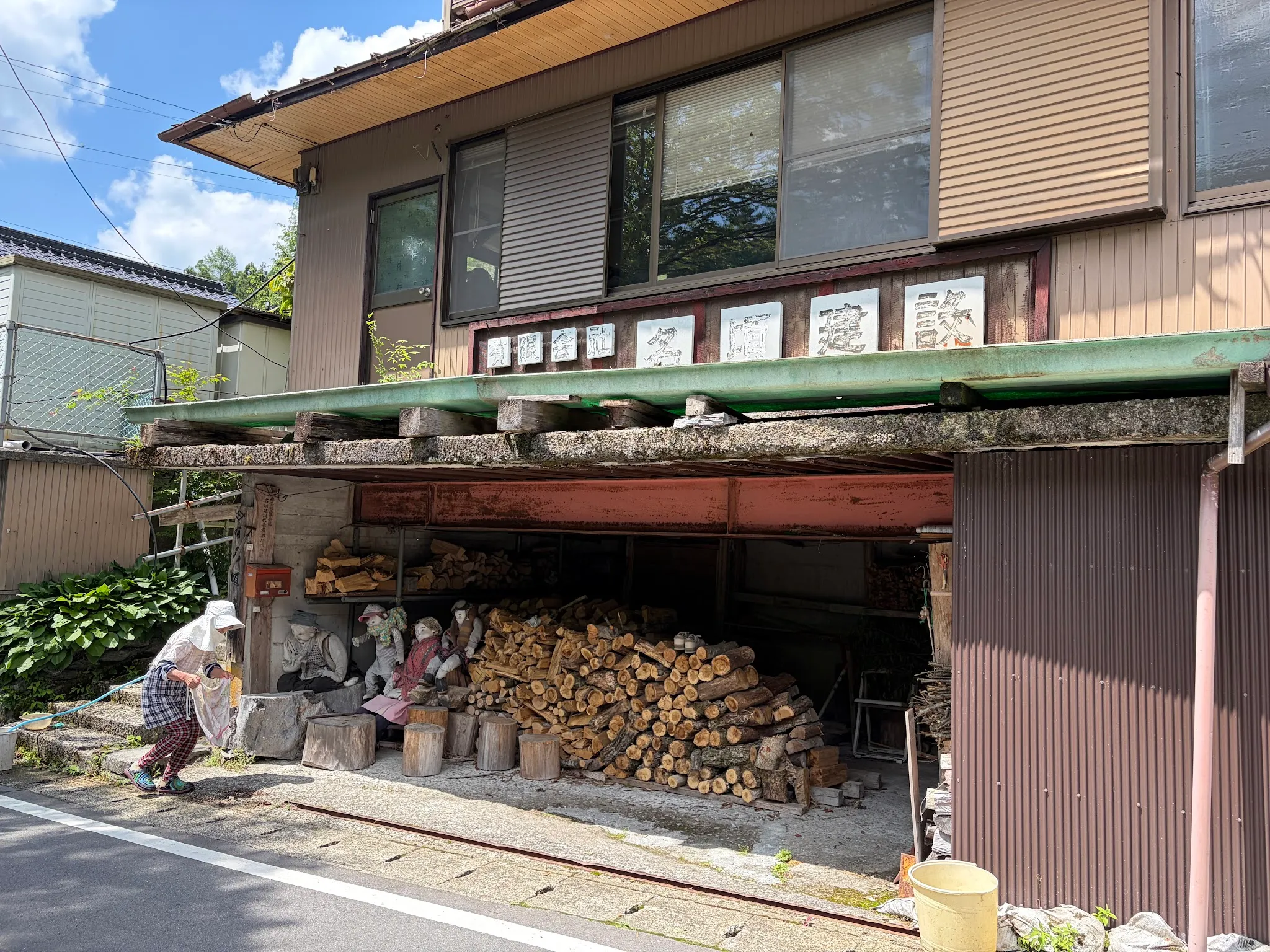
An aunty working at a log shop with some scarecrows. One of the few houses in this scarecrow village that has alive humans.
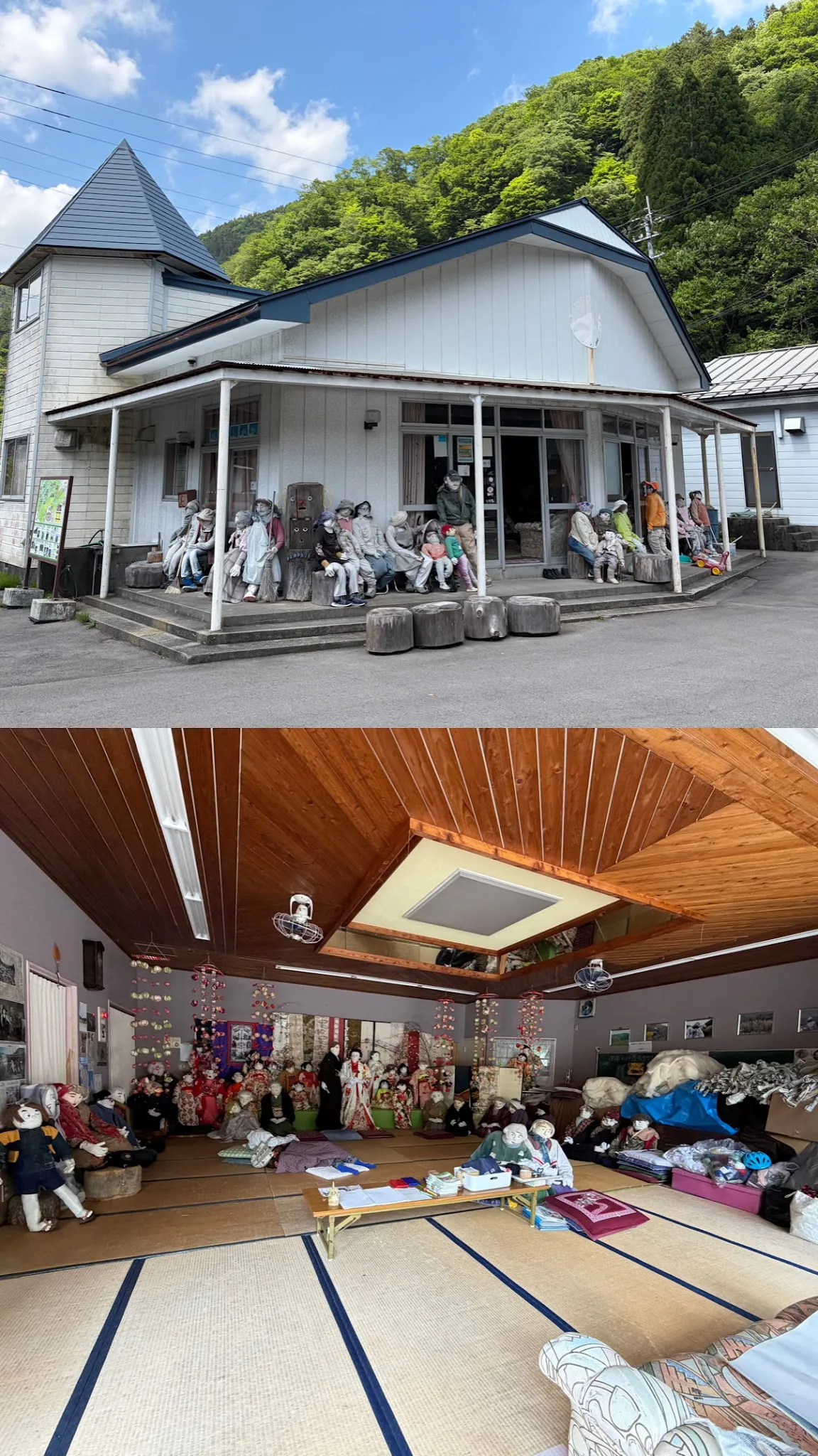
An entire apartment with scarecrows. Apparently this is a scarecrow workshop, not an abandoned house. I did not manage to catch the workshop owner.
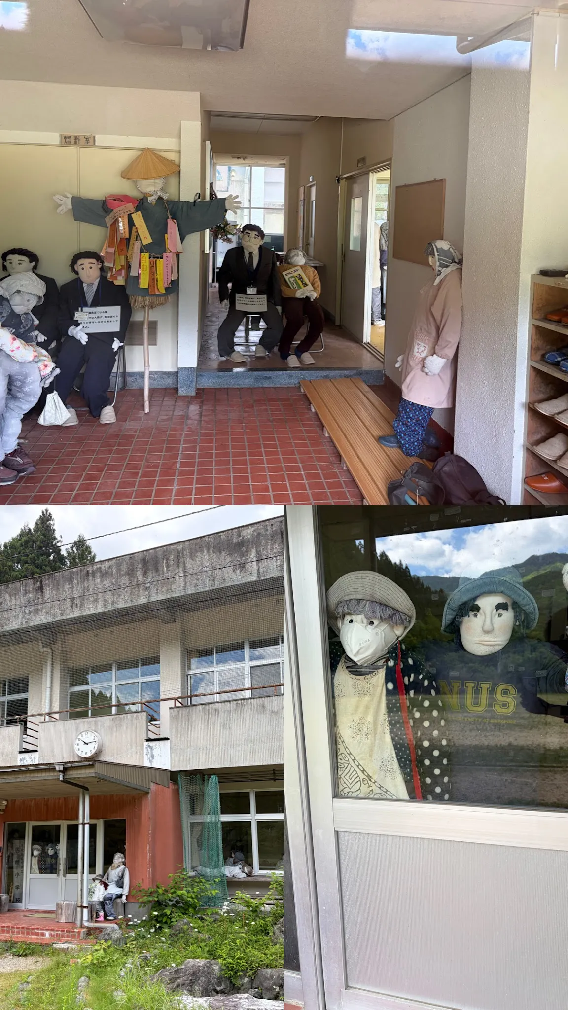
A restaurant (?) with scarecrows. Why is there a dude wearing an NUS shirt? That is interesting, I have the exact same shirt.
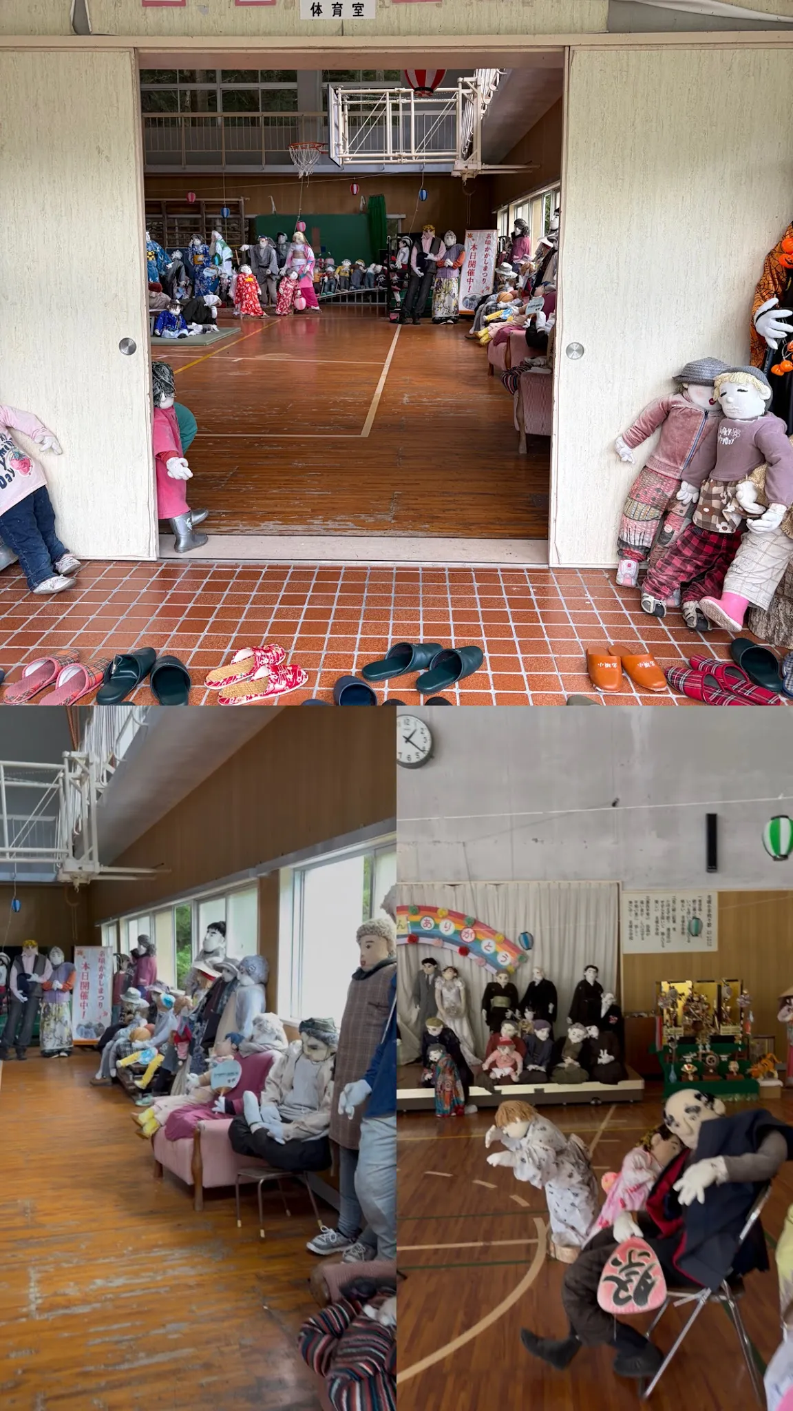
An entire school hall with scarecrows. Different characters are doing different things.
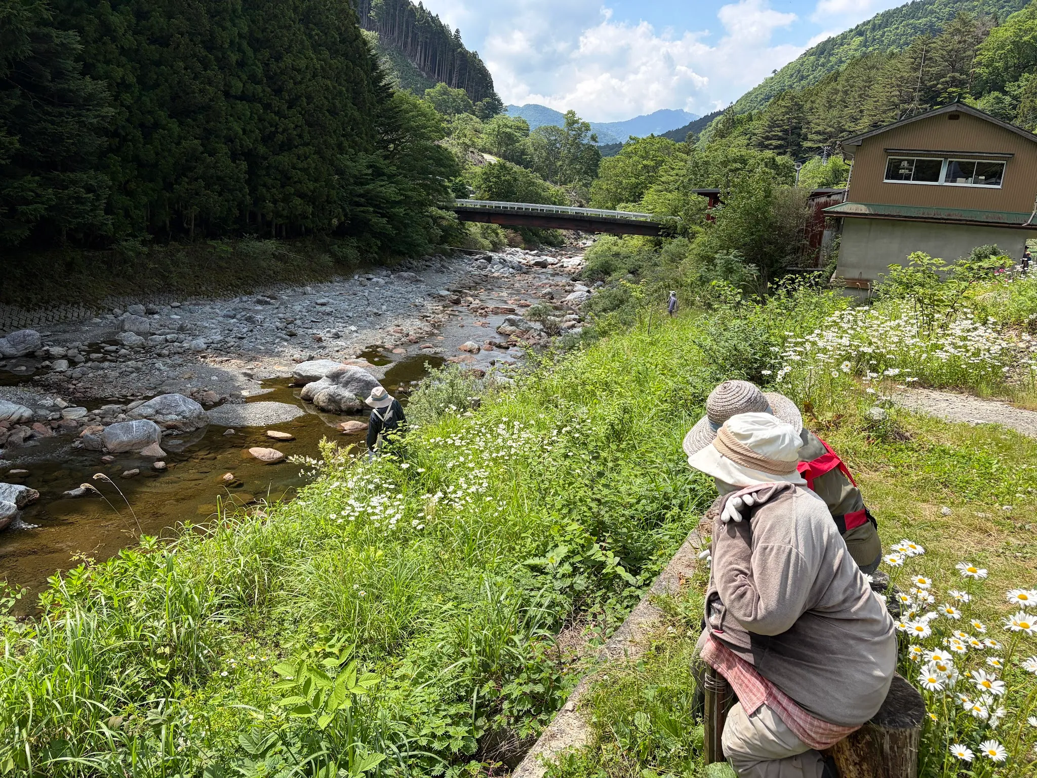
Some scarecrows dating by the river, some scarecrows are doing chores by the river.
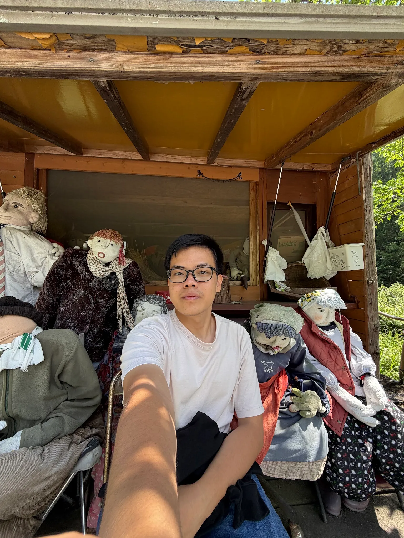
Me chilling by the scarecrows while waiting for the bus. The scarecrows don’t really look scary to me though, probably because they do not fall in the uncanny valley.
Ochiai village
I transferred bus at Ochiai, and had to wait for 1hr. So I took the opportunity to explore the village.
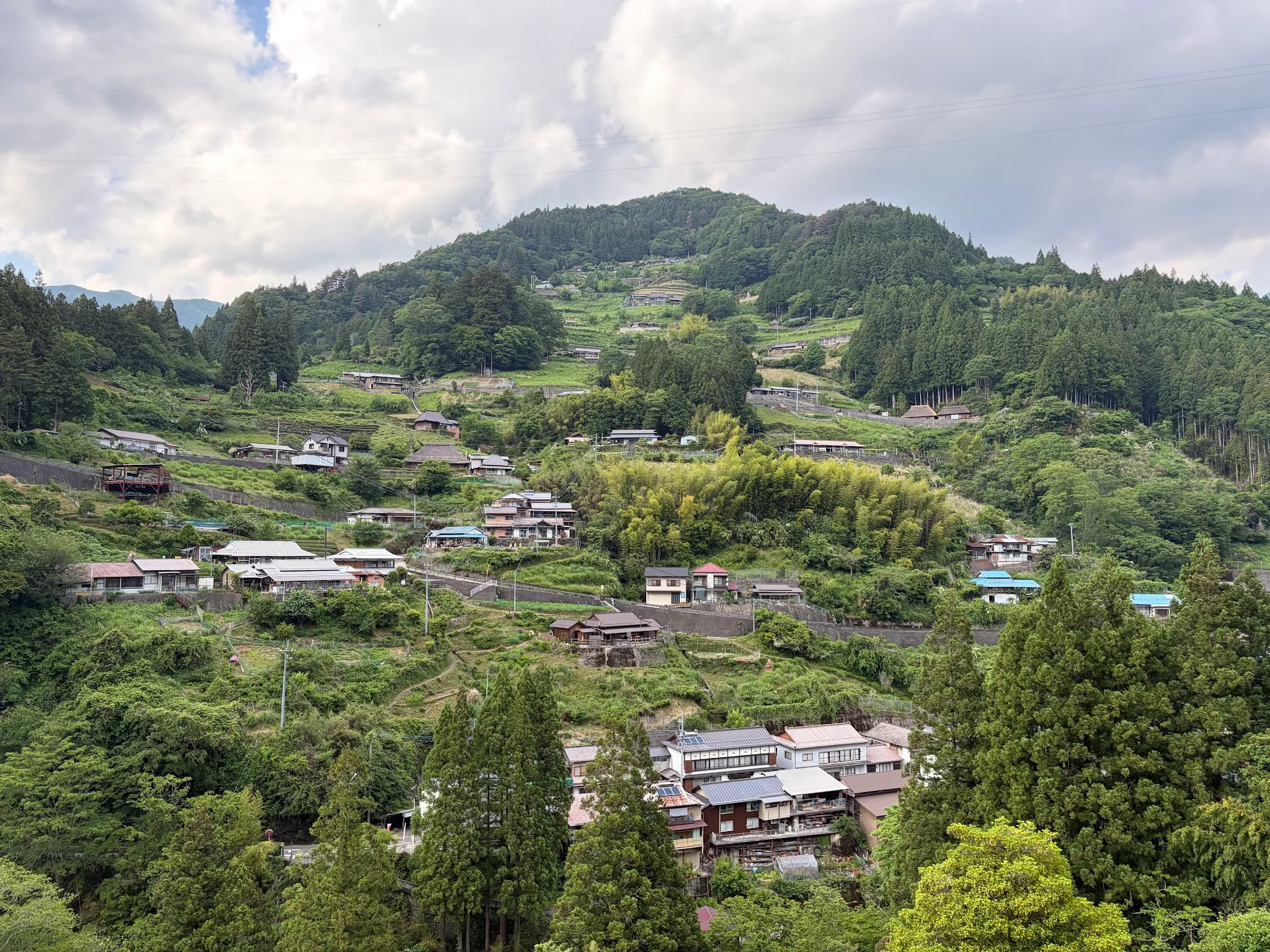
On one side it is the village itself, the other side was the observatory. Since I only had so much time, I chose the observatory for photos. The village looks really picturesque, just like the online photos.
This photo was taken near the observatory though. I did not go all the way to the top, because of my sore feet :(
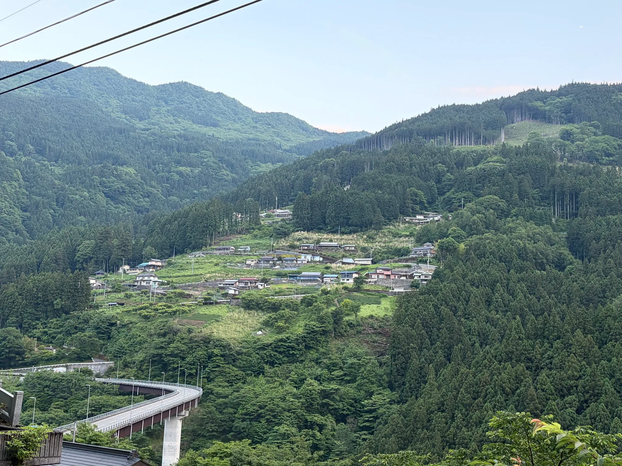
View of Zentoku village, a similar village, near my guesthouse. They both share the clinging to the cliff view, but Ochiai has preserved Edo period architecture, while Zentoku has modern architecture, with hotels and shops catered to tourists.
Dinner second time
I visited the same restaurant, because I have not had meat for the entire day, and it has very good food.
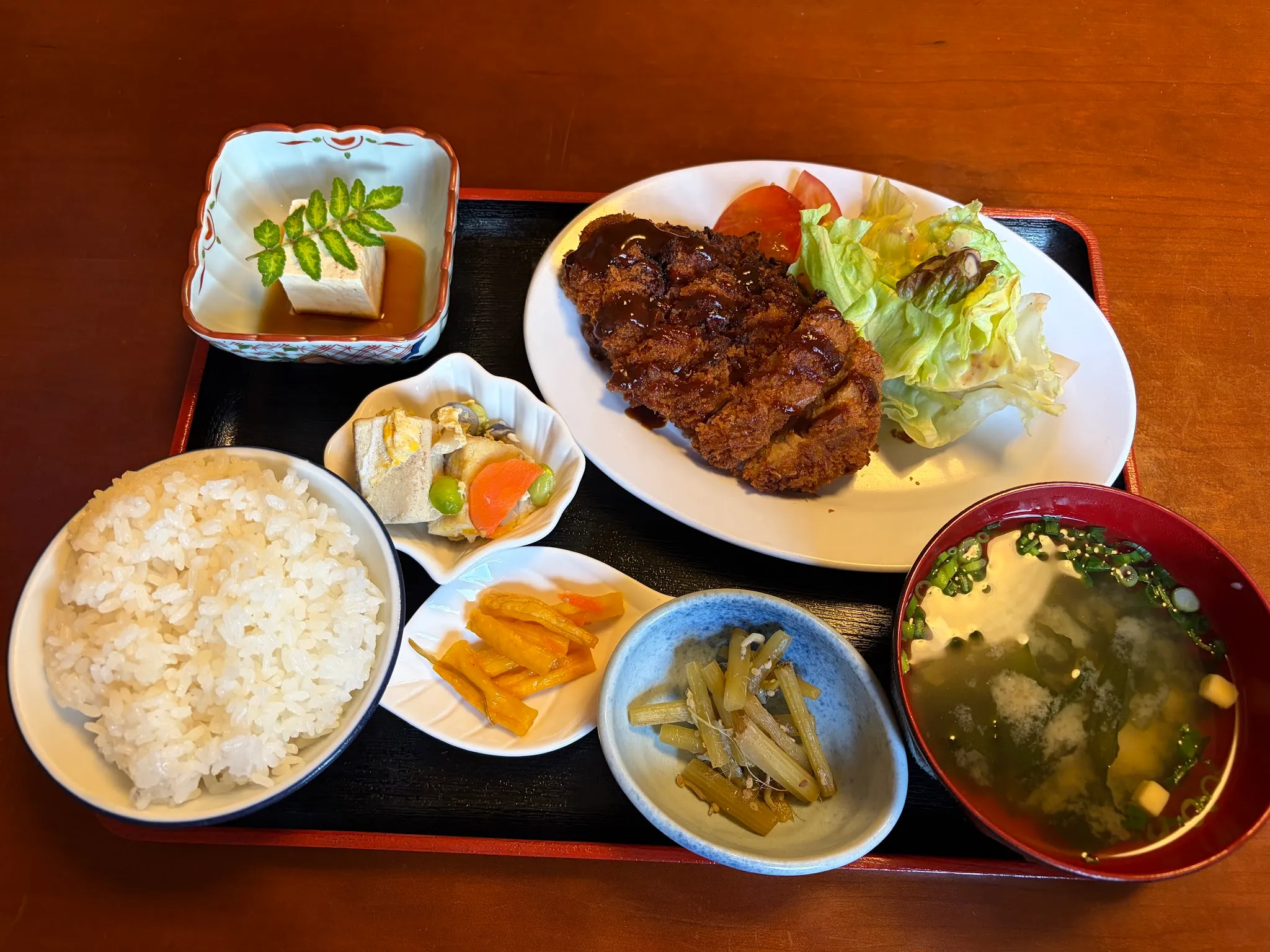
Yum!
Concluding words
Iya valley is fun, and has a lot to see. This is the destination that I probably took the most photos, and this is probably the longest post so far. Food is meh, if you travel here, make sure you research which restaurant is good. You probably can enjoy it here more with a car. It is still feasible to rely on public buses, they are very reliable, but I had to plan my itinerary around the bus timings. There are very few tourists here, so I got to enjoy the space. Overall, a good experience.